Sassongher, Kolfuschg
Difficulty
Duration 4,8 h
Distance 8 km
Altitude diff. 1 020 m
Summit hike
Badia Valley
Sassongher, Kolfuschg

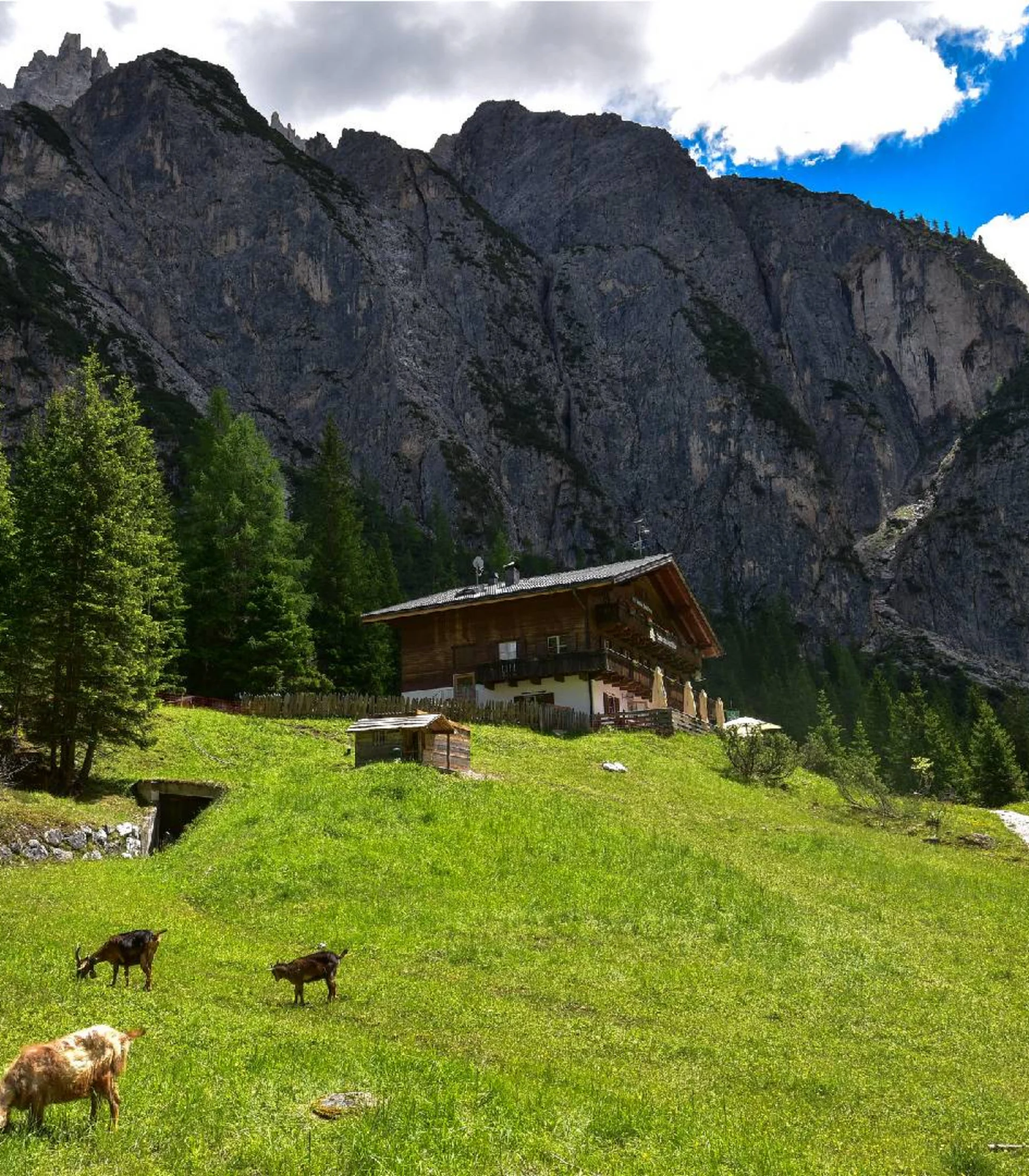
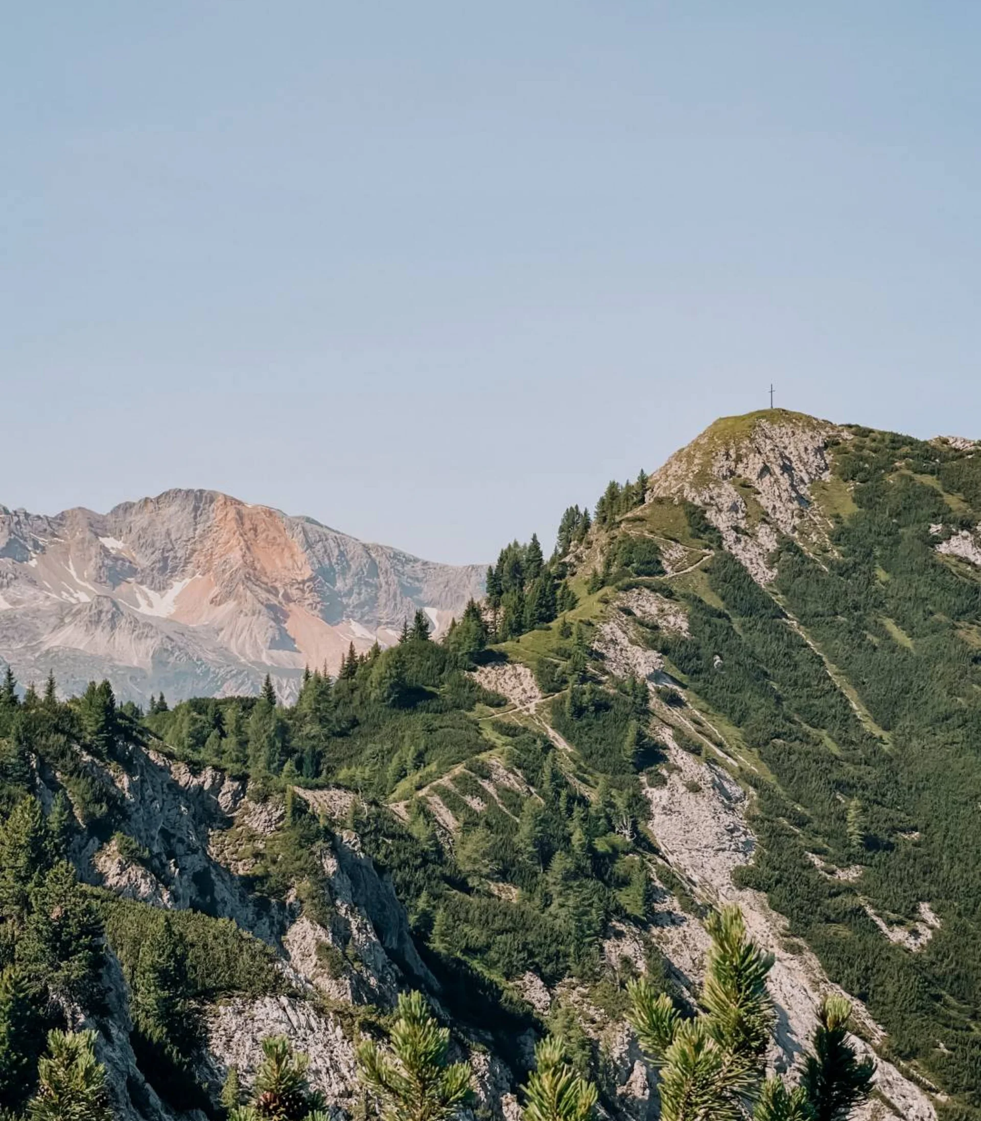
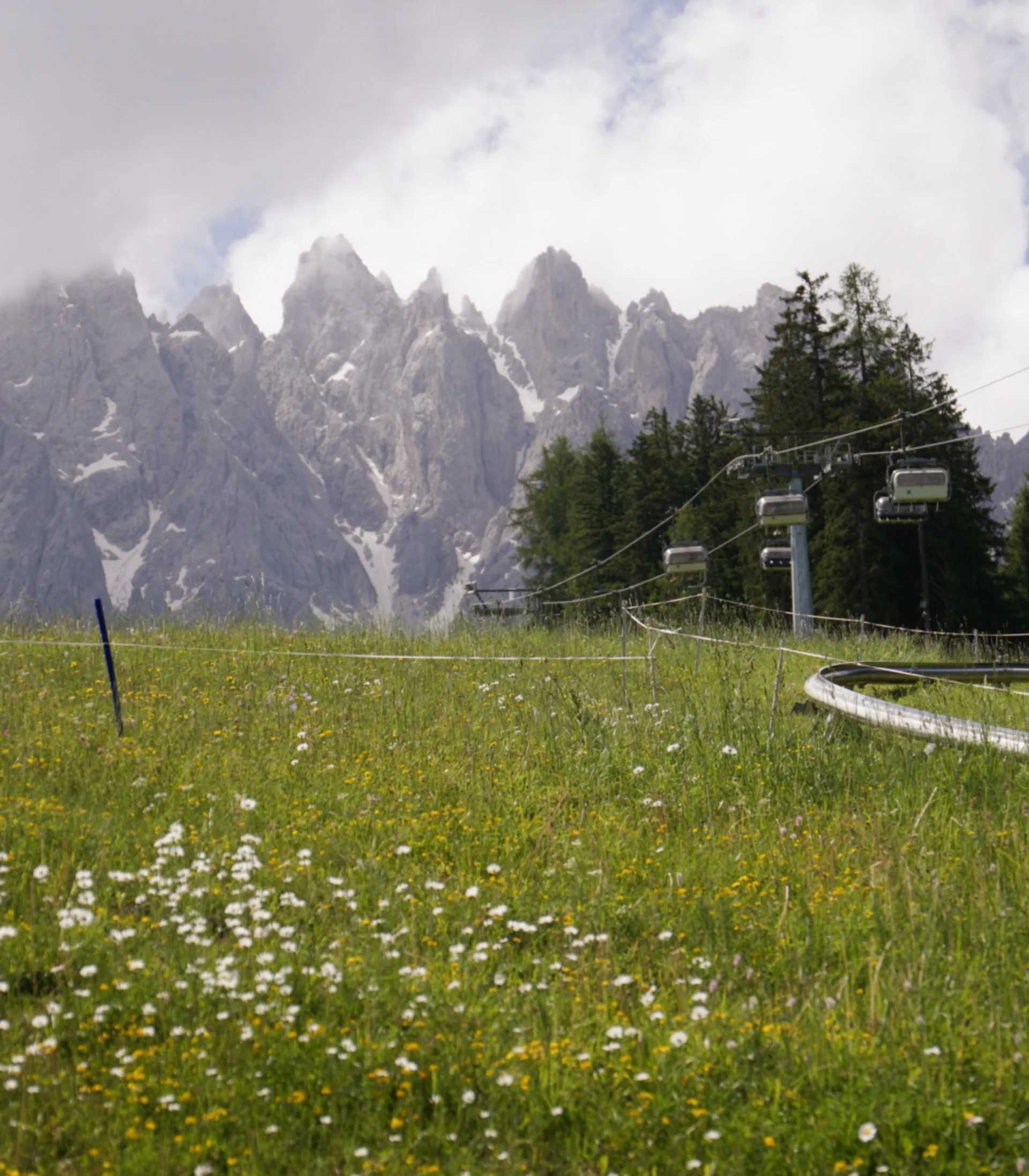
From the car park, the wide gravel road initially passes by the Edelweiß hut. At the signposted part where the trail forks, bear left and continue to follow the hiking trail. The first 300 meters of elevation to this point can also be easily covered by the Col Pradat cable car.

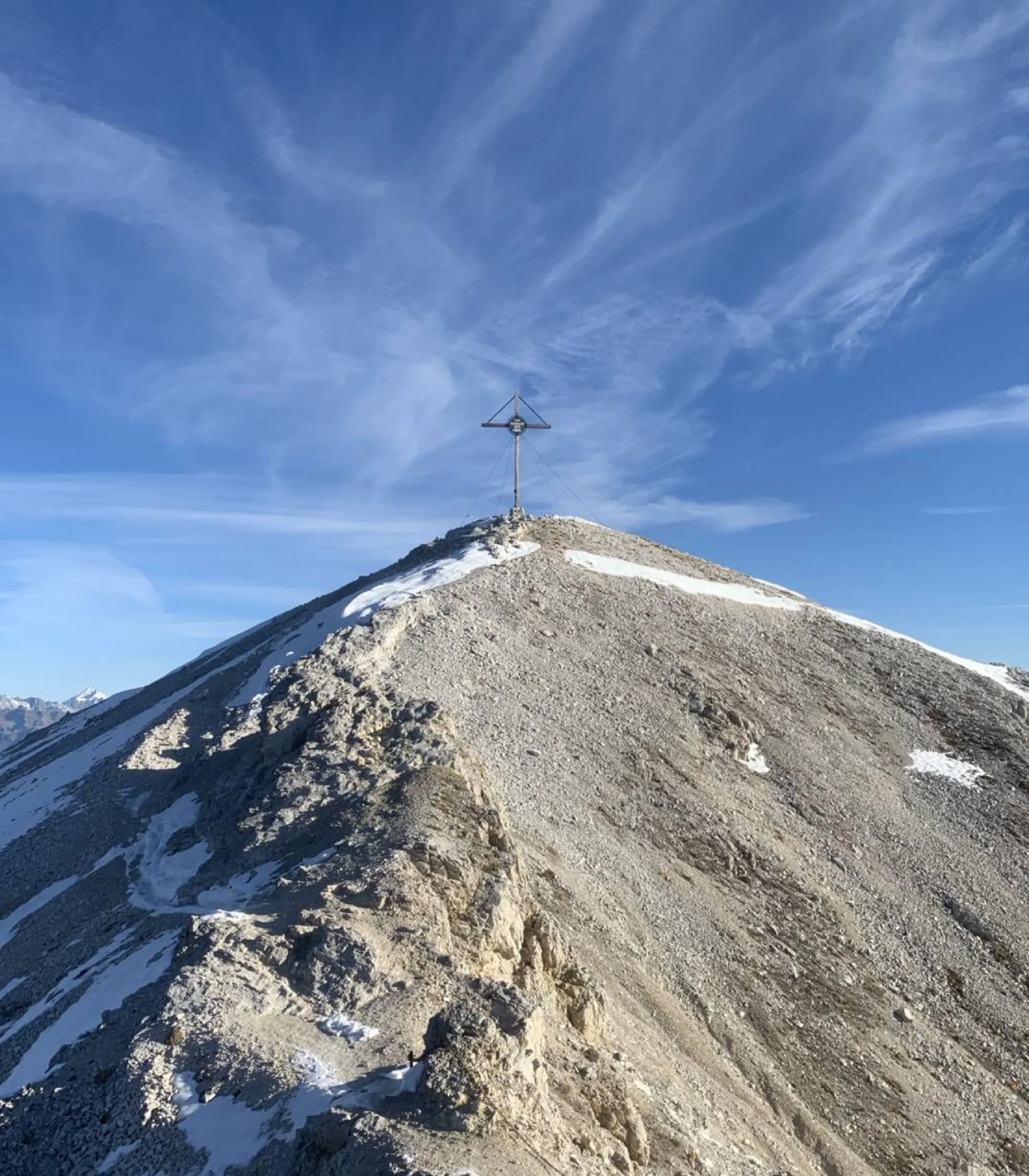
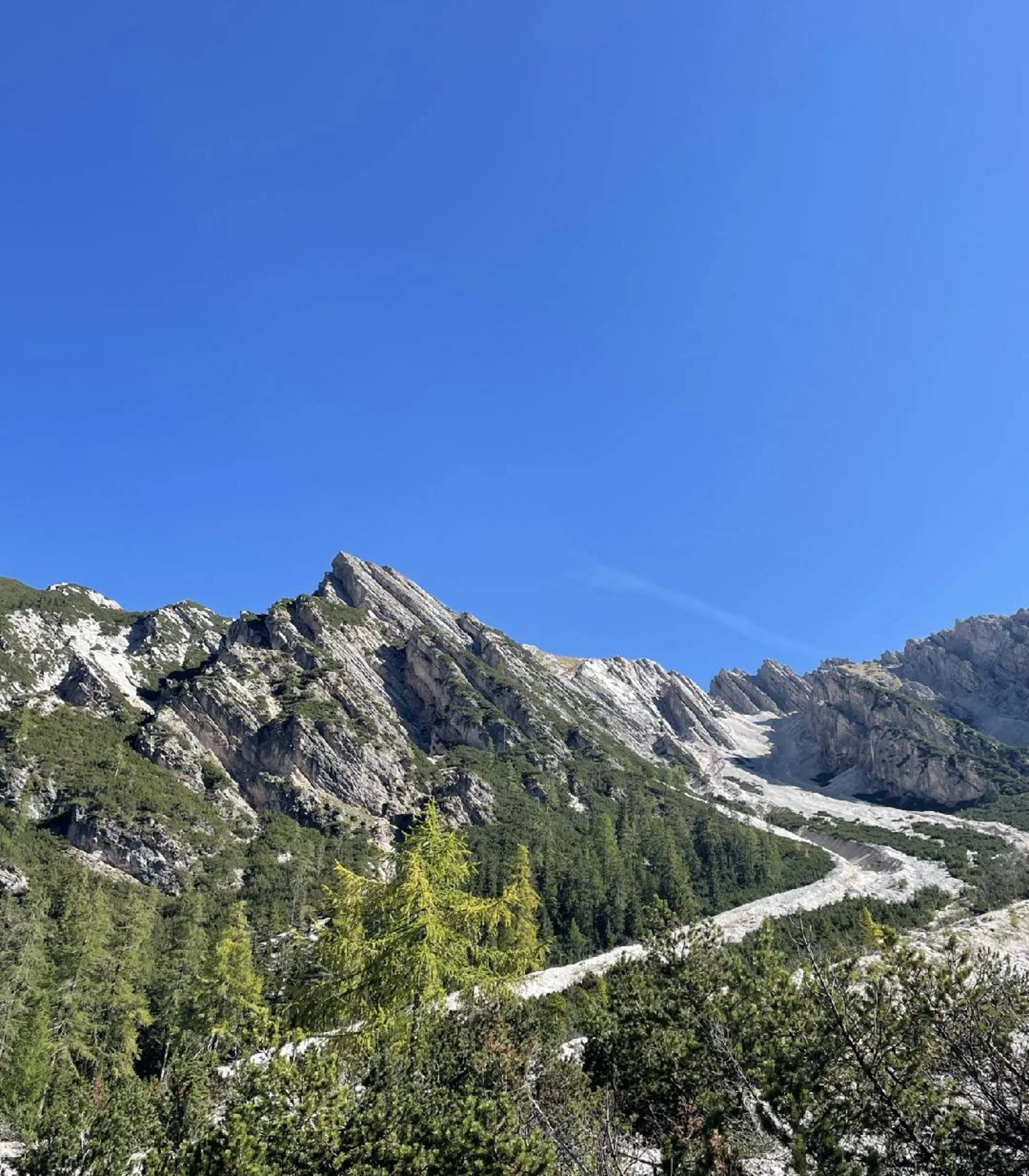
On the southwest slope of Sassongher, the trail continues upwards. You will soon reach another fork in the path where you should bear right. Hiking over rocky bands and gravel-rich passages, you will reach the Sassongher ridge – a challenging section that is not for the faint of heart. The final ascent is via a short but relatively manageable via ferrata, which represents the trickiest part of the hike. Less sure-footed hikers and children are advised to wear via ferrata equipment here.

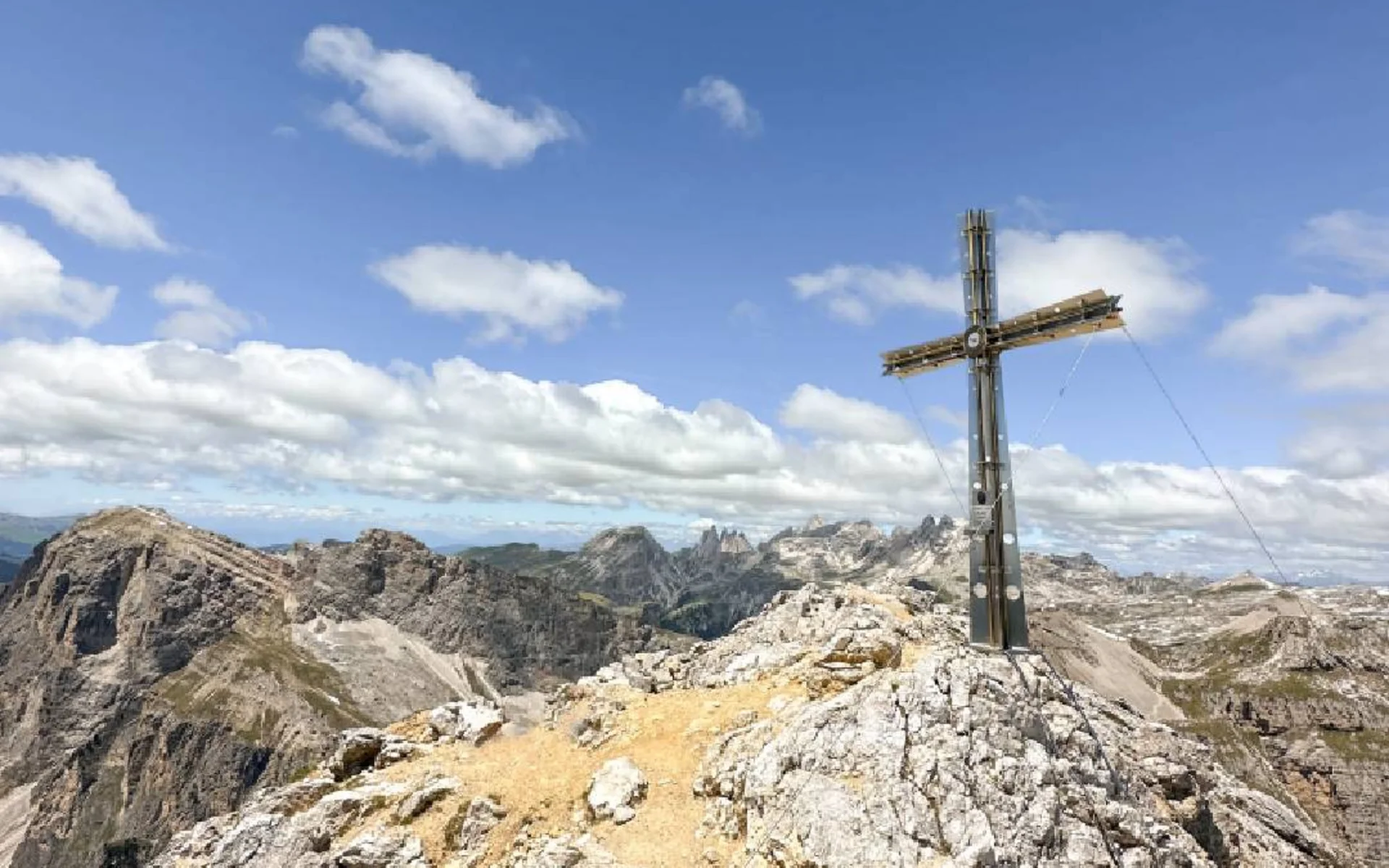
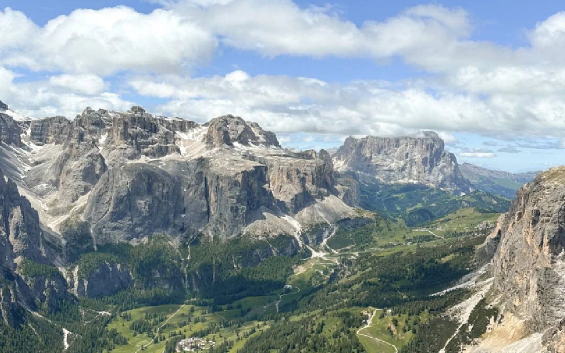
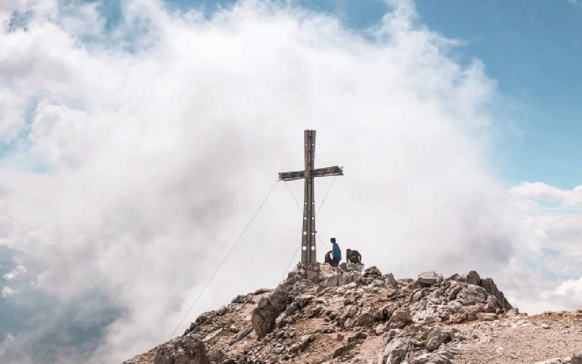
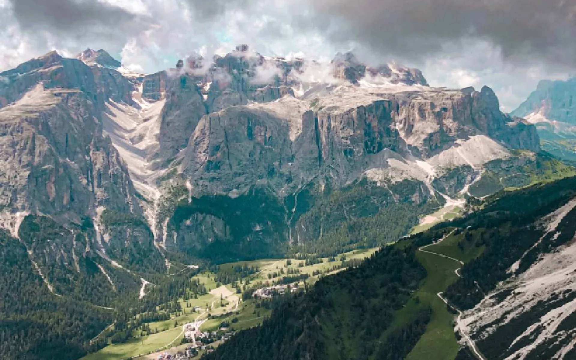
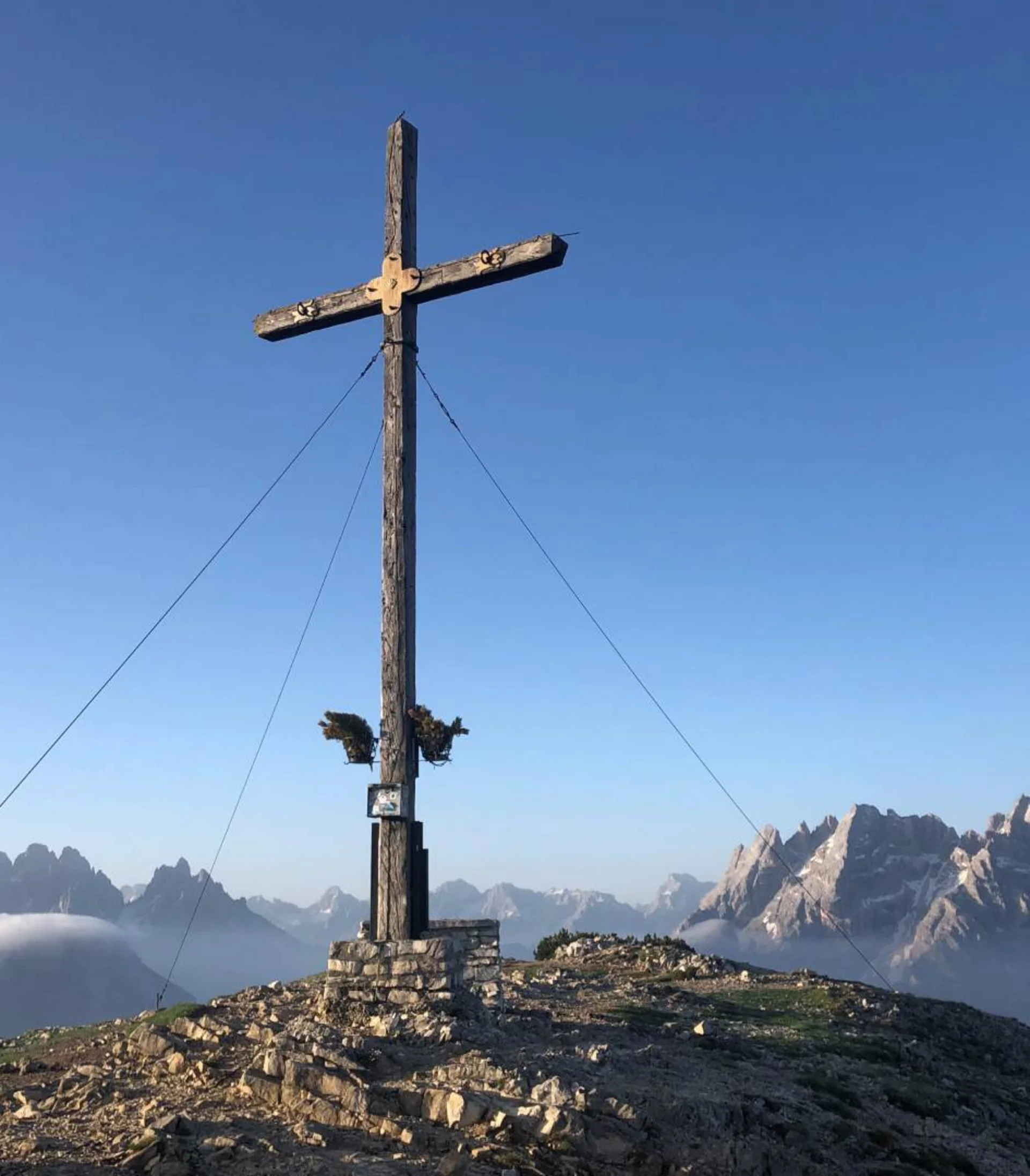
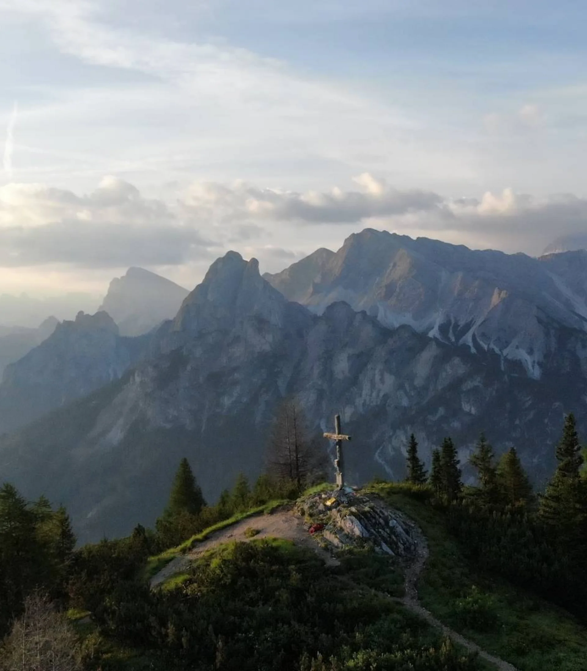
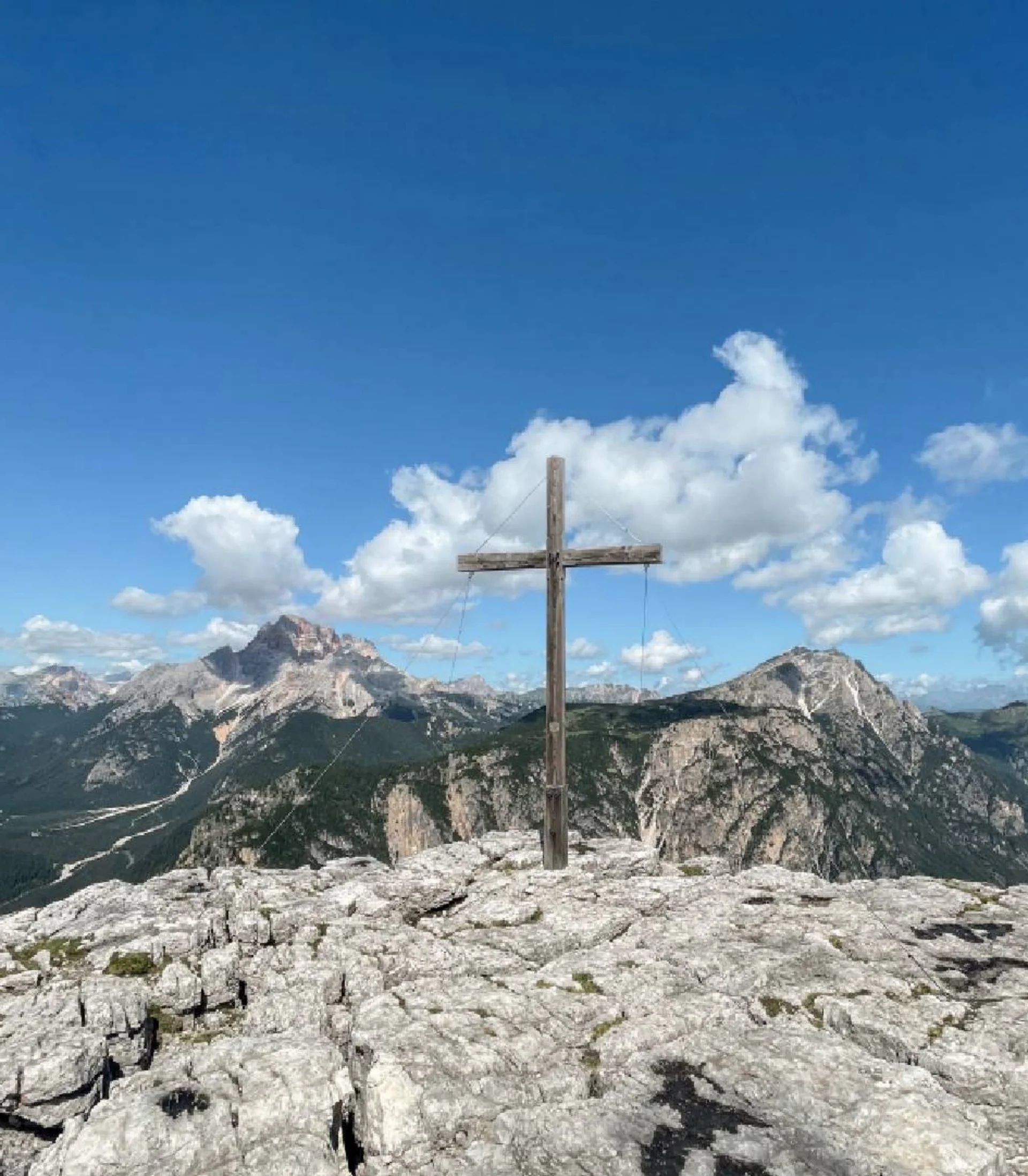
Once at the summit, you are greeted not only by an elegant summit cross but also by a breathtaking panorama: iconic Dolomite peaks such as the Heiligkreuzkofel massif, Langkofel, Sellstock, the Cirspitzen, the Puez Group, the Geisler peaks, and many more rise into the sky. The descent follows the same route as the ascent.

Starting point: Col Pradat car park, Kolfuschg (42 km from the hotel)

To the route

More tours
Alpine hike | Hochpuster Dolomites
Dreischuster Hut, Sexten
Difficulty
Duration 3,3 h
Distance 3,3 km
Altitude diff. 350 m
Sassongher, Kolfuschg
Alpine hike | Hochpuster Dolomites
Alpe Nemes, Sexten
Difficulty
Duration 2,15 h
Distance 2,15 km
Altitude diff. 250 m
Sassongher, Kolfuschg
Alpine hike | Hochpuster Dolomites
Rossalm, Prags
Difficulty
Duration 4,3 h
Distance 4,3 km
Altitude diff. 430 m
Sassongher, Kolfuschg
Alpine hike | Hochpuster Dolomites
Seekofel Hut, Prags
Difficulty
Duration 6 h
Distance 6 km
Altitude diff. 915 m
Sassongher, Kolfuschg
Summit hike | Hochpuster Dolomites
Strudelkopf, Prags
Difficulty
Duration 4,75 h
Distance 4,75 km
Altitude diff. 380 m
Sassongher, Kolfuschg
Summit hike | Hochpuster Dolomites
Kühwiesenkopf, Prags
Difficulty
Duration 3,25 h
Distance 3,25 km
Altitude diff. 650 m
Sassongher, Kolfuschg
Summit hike | Hochpuster Dolomites
Dürrenstein, Prags
Difficulty
Duration 5 h
Distance 5 km
Altitude diff. 870 m
Sassongher, Kolfuschg
Summit hike | Hochpuster Dolomites
Monte Piano, Toblach
Difficulty
Duration 5,5 h
Distance 5,5 km
Altitude diff. 900 m
Sassongher, Kolfuschg
Summit hike | Hochpuster Dolomites
Lung- & Sarlkofel, Prags
Difficulty
Duration 6,25 h
Distance 6,25 km
Altitude diff. 1 210 m
Sassongher, Kolfuschg
Summit hike | Hochpuster Dolomites
Seekofel, Prags
Difficulty
Duration 7,25 h
Distance 7,25 km
Altitude diff. 1 336 m
Sassongher, Kolfuschg
Excursion | Hochpuster Dolomites
Funbob am Haunold, Innichen
Difficulty
Sassongher, Kolfuschg