Schartenweg, Misurina
Difficulty
Duration 5,5 h
Distance 11 km
Altitude diff. 1 080 m
Summit hike
Fanes-Senes & Ampezzaner Dolomites
Schartenweg, Misurina

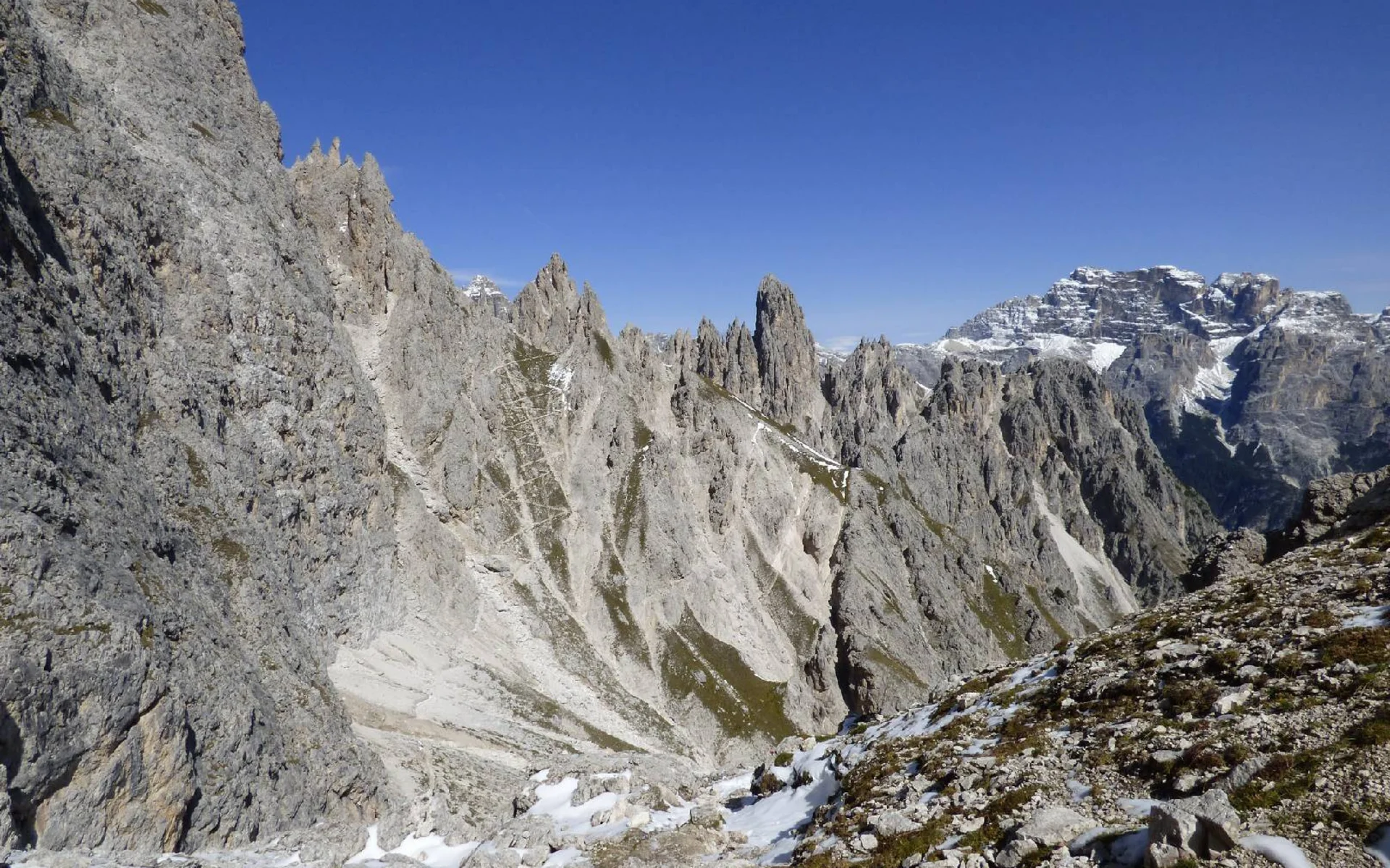
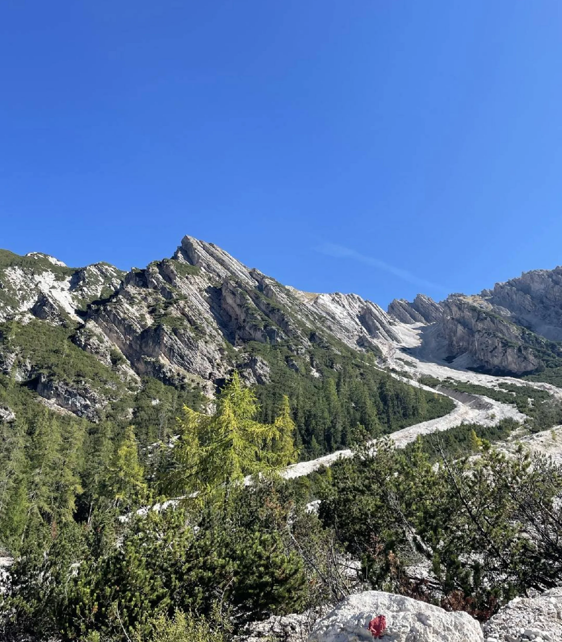
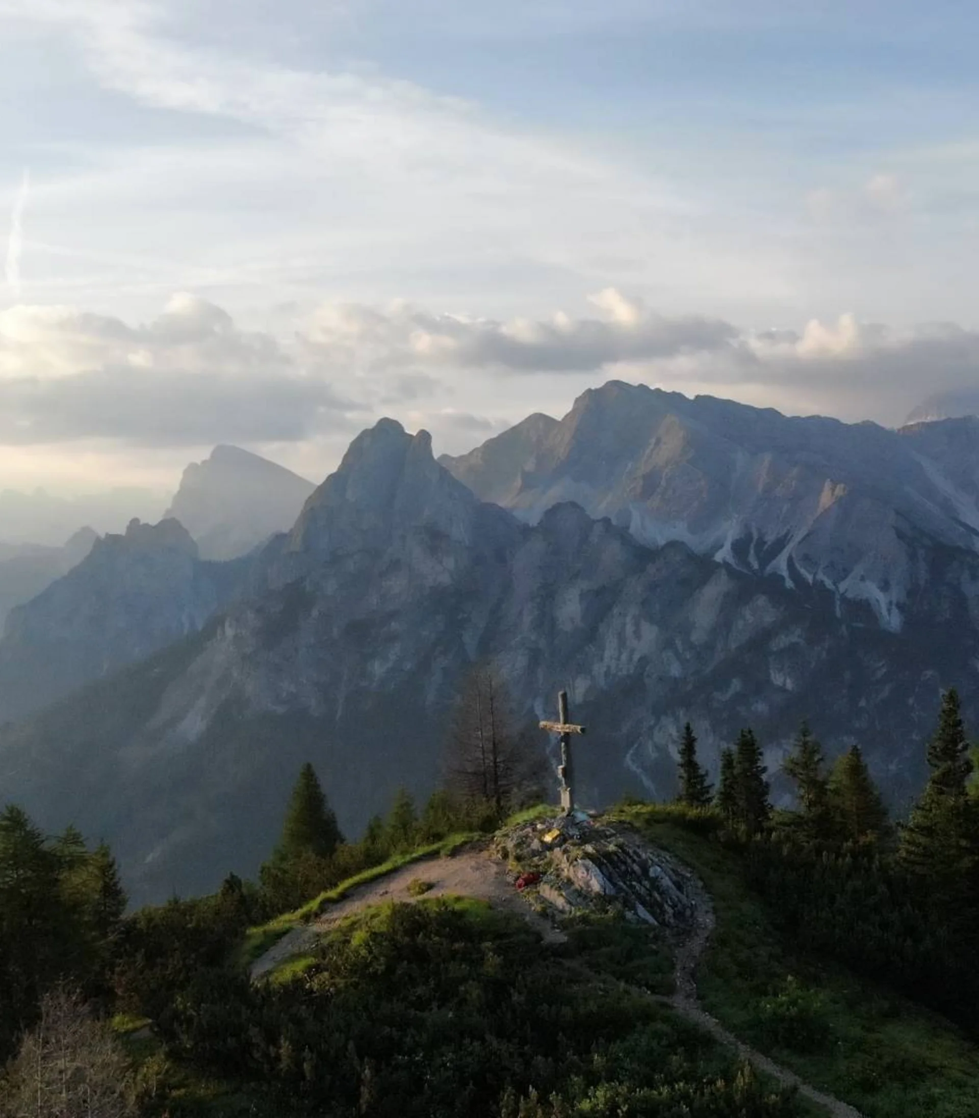
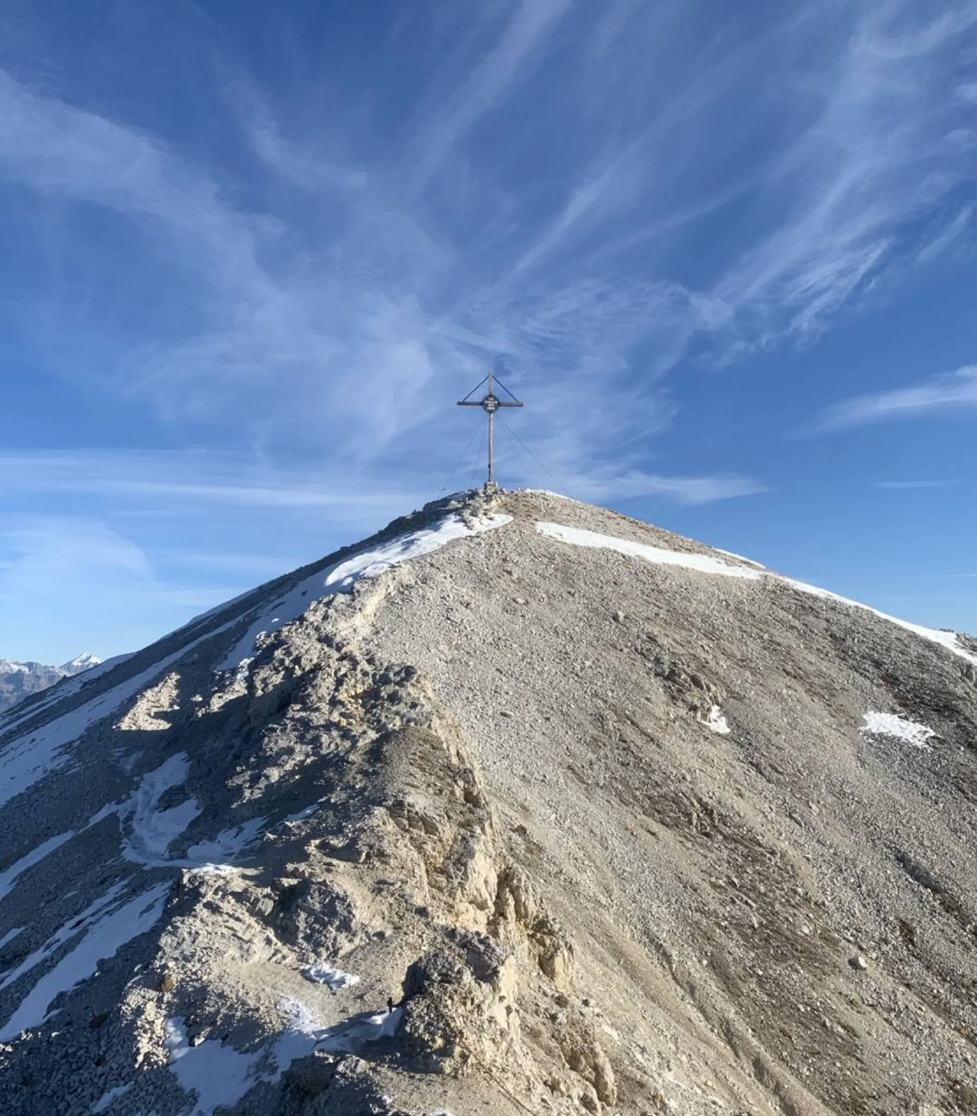
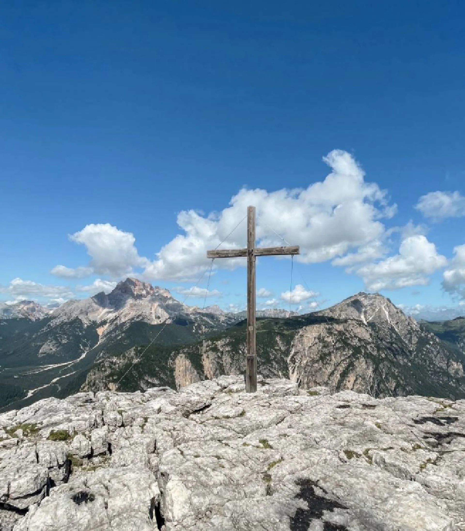
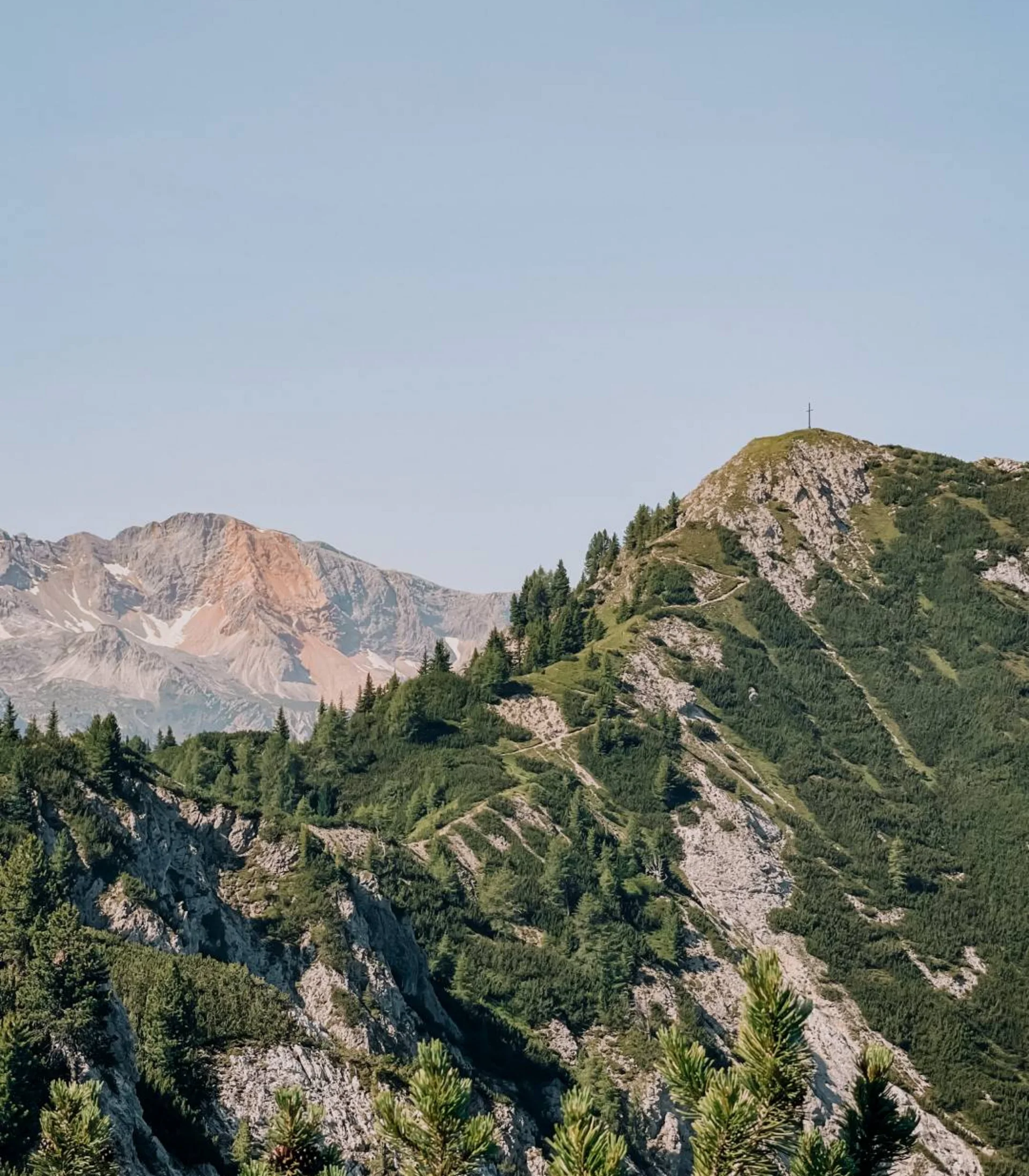
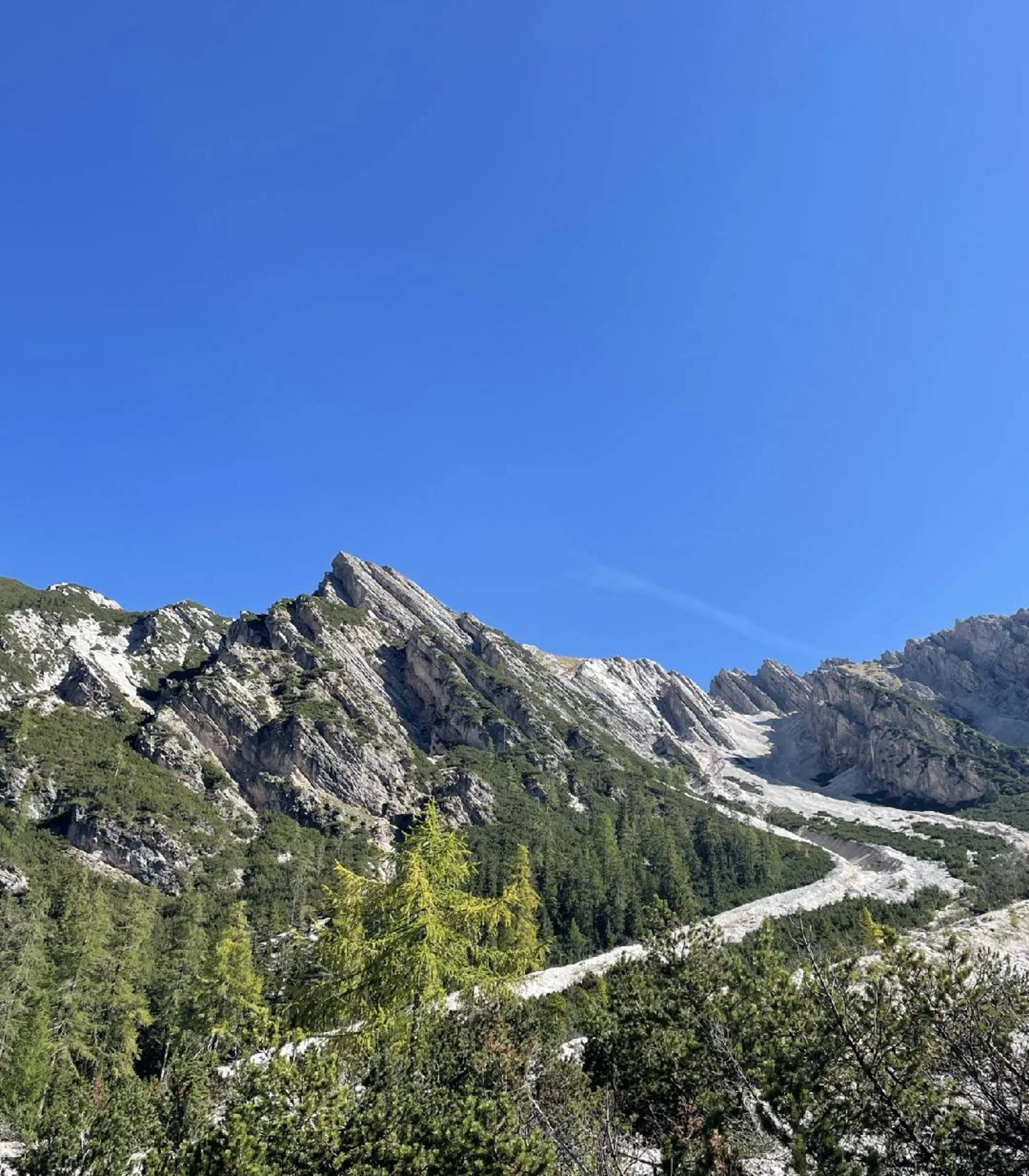
The “Giro dei Cadini di Misurina” round trip from Misurina is suitable for sure-footed mountain hikers and initially follows the southern part of the famous Sentiero Bonacossa, passing a total of five passes (Forcella di Misurina, Forcella del Diavolo, Forcella del Nevaio, Forcella Verzi, Forcella della Neve) of the inner Cadini group in the Sexten Dolomites.

The hike to the Cadini di Misurina starts at the car park near the toll booth, which grants access to the road leading to the Tre Cime di Lavaredo. You follow a forest path that leads uphill to Rifugio Auronzo. Soon, you bear right onto a long ridge from which the beautiful and panoramic Bonacossa path branches off, leading to Forcella di Rinbianco at 2,176 meters.

From this mountain pass, there is a view of the second pass, Forcella della Torre, at 2,400 meters, which is reached by a steep path. Without losing too much elevation, you reach Forcella Sabbiosa at 2,440 meters, Forcella Cadin Deserto at 2,400 meters, and finally Forcella Cristina.

A long, winding path leads you to the base of Forcella della Neve, passing beneath the spectacular Torre Innerkofler. The ascent to Forcella della Neve at 2,471 meters is on loose terrain without a marked path.

The descent follows the opposite side and is initially quite steep until the valley opens up and it becomes gentler. A beautiful path then leads pleasantly back to the starting point of the hike.

Starting point: Fonda Savio car park, near Lake Antorno/Auronzo (45 km from the hotel)

To the route

More tours
Alpine hike | Hochpuster Dolomites
Dreischuster Hut, Sexten
Difficulty
Duration 3,3 h
Distance 3,3 km
Altitude diff. 350 m
Schartenweg, Misurina
Alpine hike | Hochpuster Dolomites
Alpe Nemes, Sexten
Difficulty
Duration 2,15 h
Distance 2,15 km
Altitude diff. 250 m
Schartenweg, Misurina
Alpine hike | Hochpuster Dolomites
Rossalm, Prags
Difficulty
Duration 4,3 h
Distance 4,3 km
Altitude diff. 430 m
Schartenweg, Misurina
Alpine hike | Hochpuster Dolomites
Seekofel Hut, Prags
Difficulty
Duration 6 h
Distance 6 km
Altitude diff. 915 m
Schartenweg, Misurina
Summit hike | Hochpuster Dolomites
Strudelkopf, Prags
Difficulty
Duration 4,75 h
Distance 4,75 km
Altitude diff. 380 m
Schartenweg, Misurina
Summit hike | Hochpuster Dolomites
Kühwiesenkopf, Prags
Difficulty
Duration 3,25 h
Distance 3,25 km
Altitude diff. 650 m
Schartenweg, Misurina
Summit hike | Hochpuster Dolomites
Dürrenstein, Prags
Difficulty
Duration 5 h
Distance 5 km
Altitude diff. 870 m
Schartenweg, Misurina
Summit hike | Hochpuster Dolomites
Monte Piano, Toblach
Difficulty
Duration 5,5 h
Distance 5,5 km
Altitude diff. 900 m
Schartenweg, Misurina
Summit hike | Hochpuster Dolomites
Lung- & Sarlkofel, Prags
Difficulty
Duration 6,25 h
Distance 6,25 km
Altitude diff. 1 210 m
Schartenweg, Misurina
Summit hike | Hochpuster Dolomites
Seekofel, Prags
Difficulty
Duration 7,25 h
Distance 7,25 km
Altitude diff. 1 336 m
Schartenweg, Misurina
Excursion | Hochpuster Dolomites
Funbob am Haunold, Innichen
Difficulty
Schartenweg, Misurina