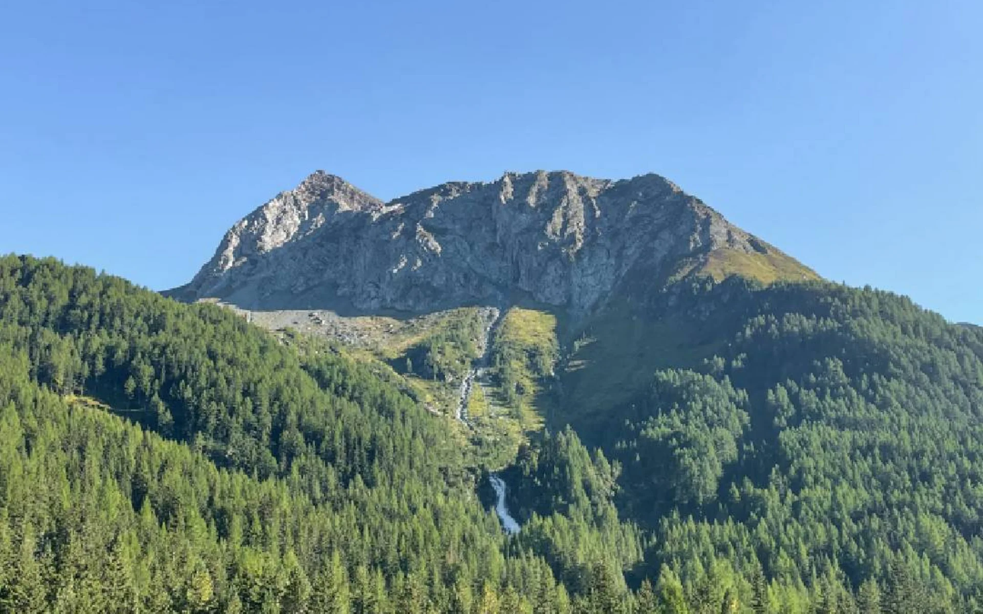
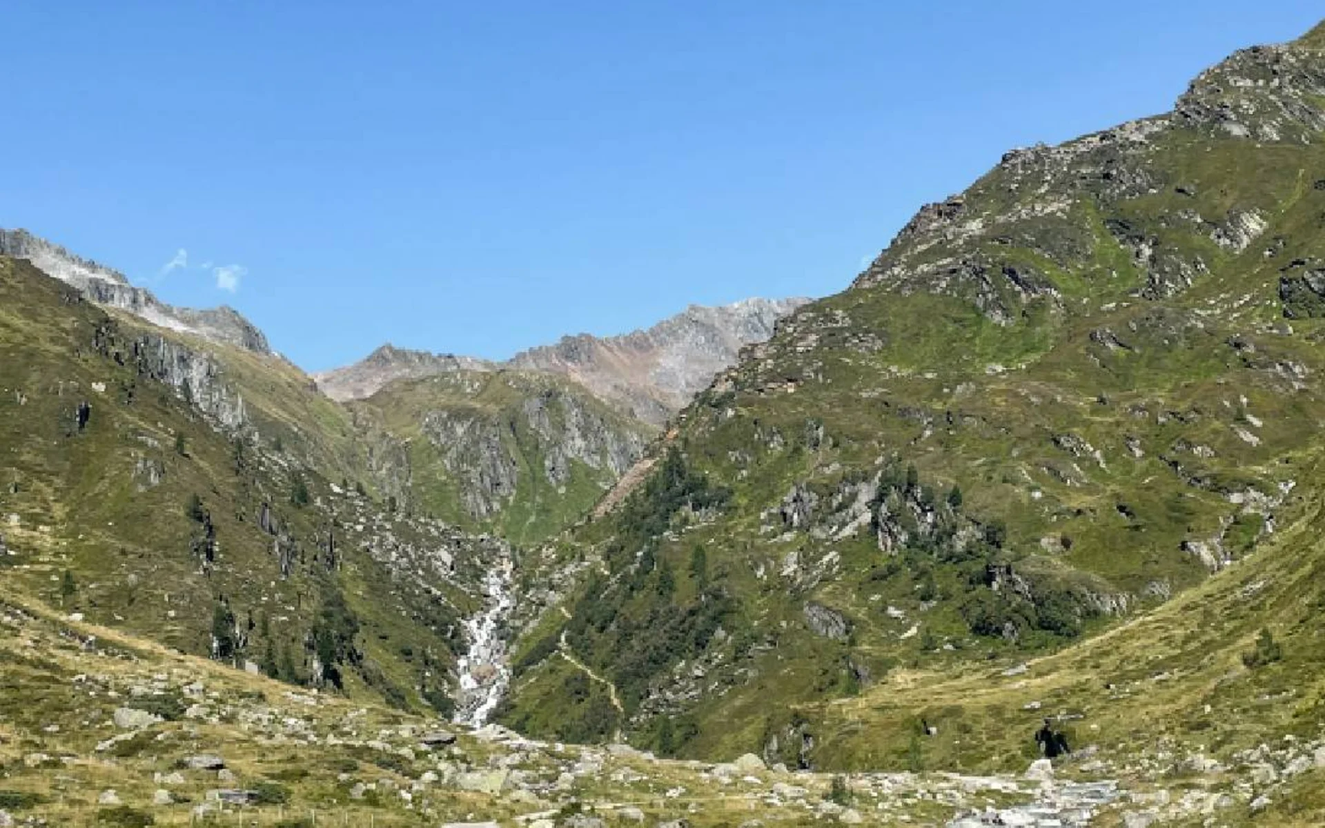
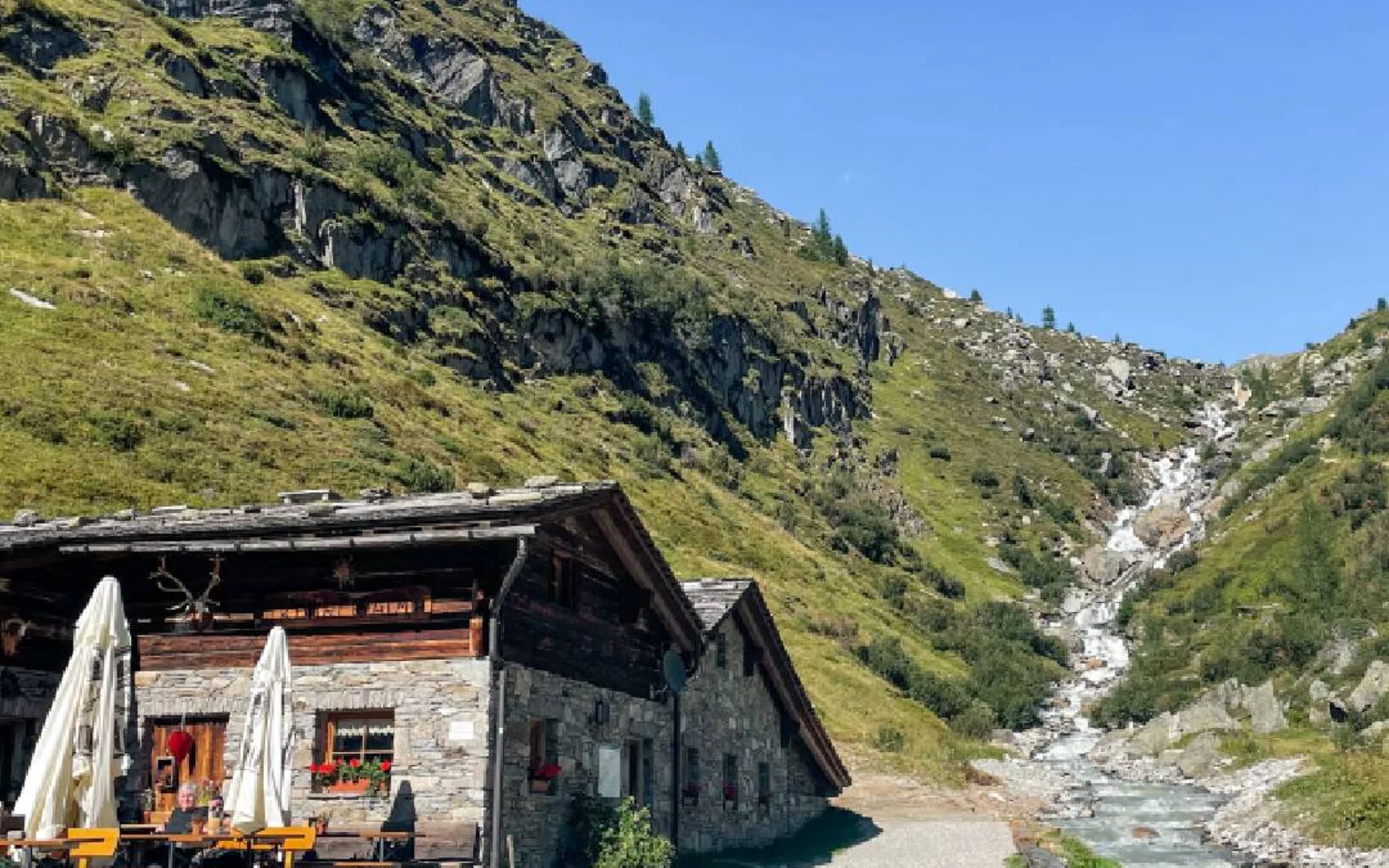
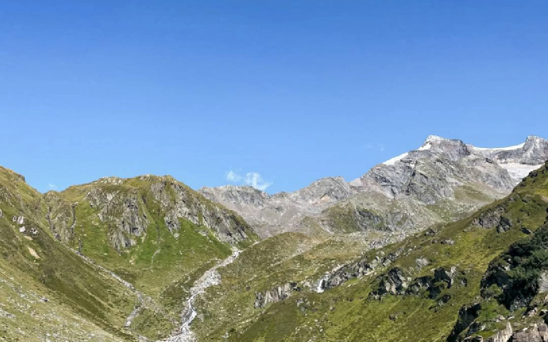
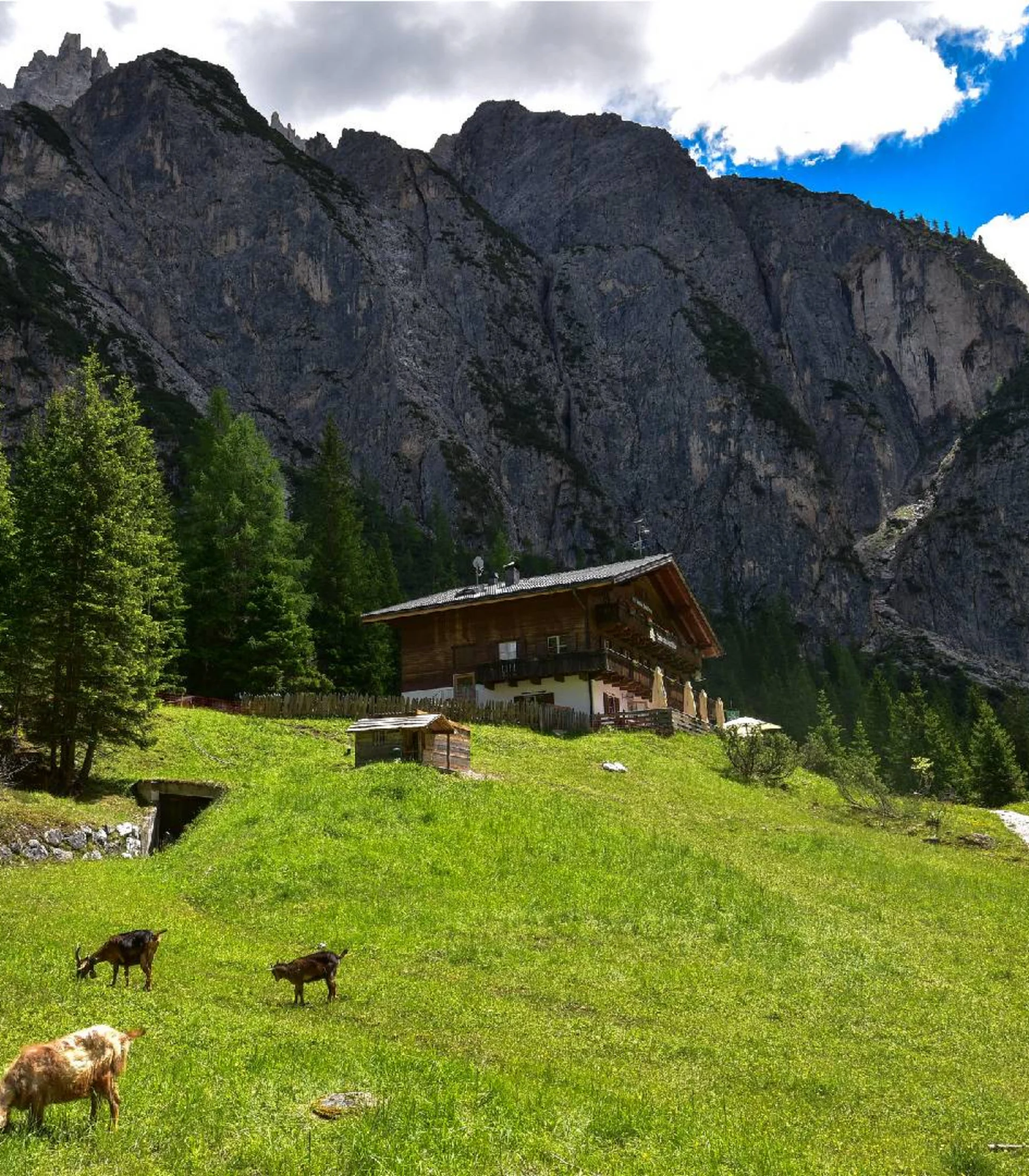
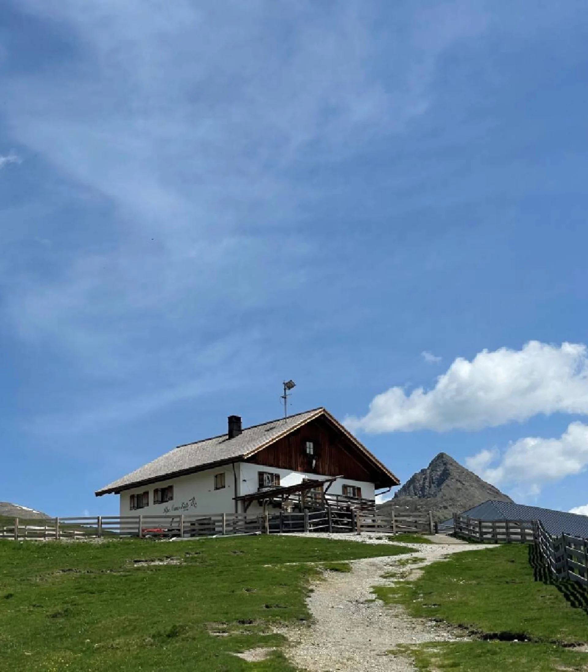
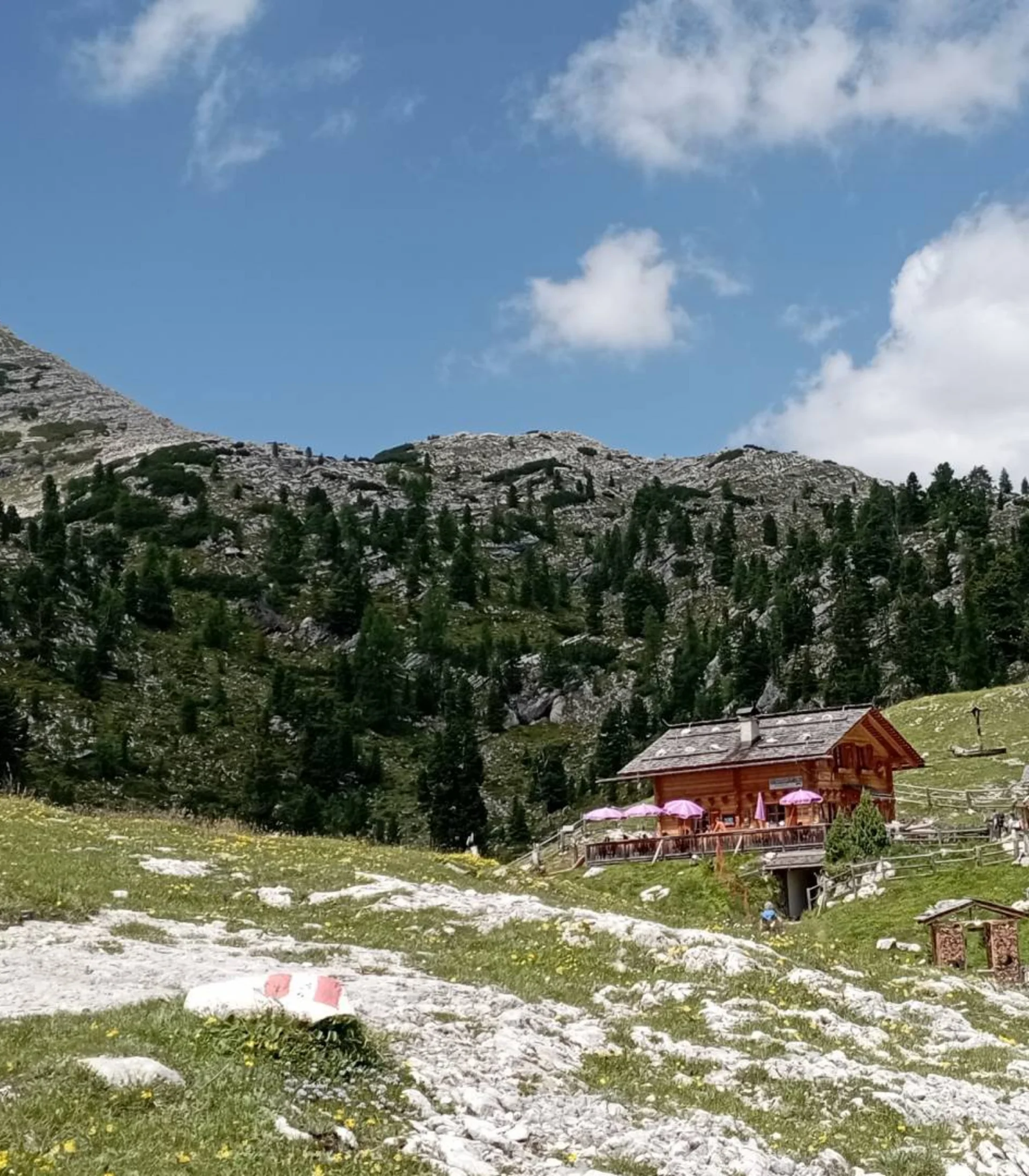
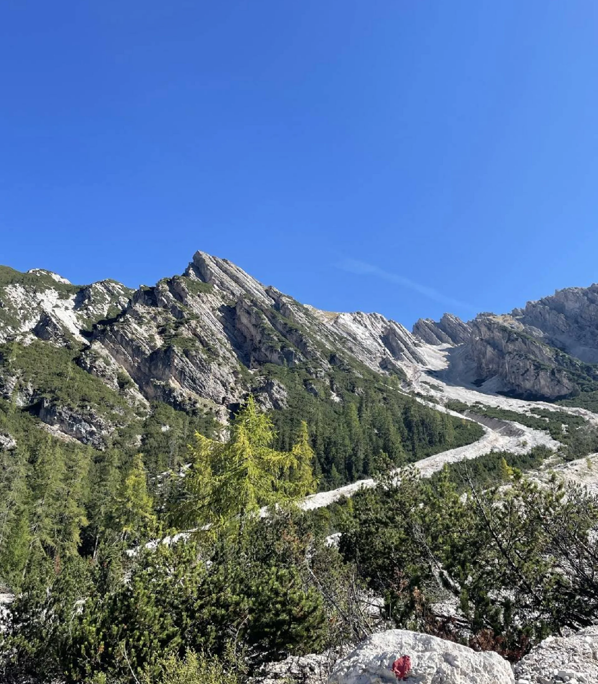
This long day-hike begins at the end of the Tauferer Ahrntal Valley in Hl. Geist. From the car park, the forest road initially makes its way flat into the valley. After passing the Schlüichalm, the hiking trail branches off to the left, following the small Schlüttalmbach stream until it reaches the Schlüttalm. From there, the path ascends gently to the Tauernalm before becoming steeper on the way up to the Neugersdorfer hut, also known as the Rifugio Vetta d’Italia. This unstaffed hut was once a customs post serving the Austrian border and was used by the Guardia di Finanza until 2022. Throughout the hike, the imposing peak of the Drei-Herren (3,499 m) is in view.
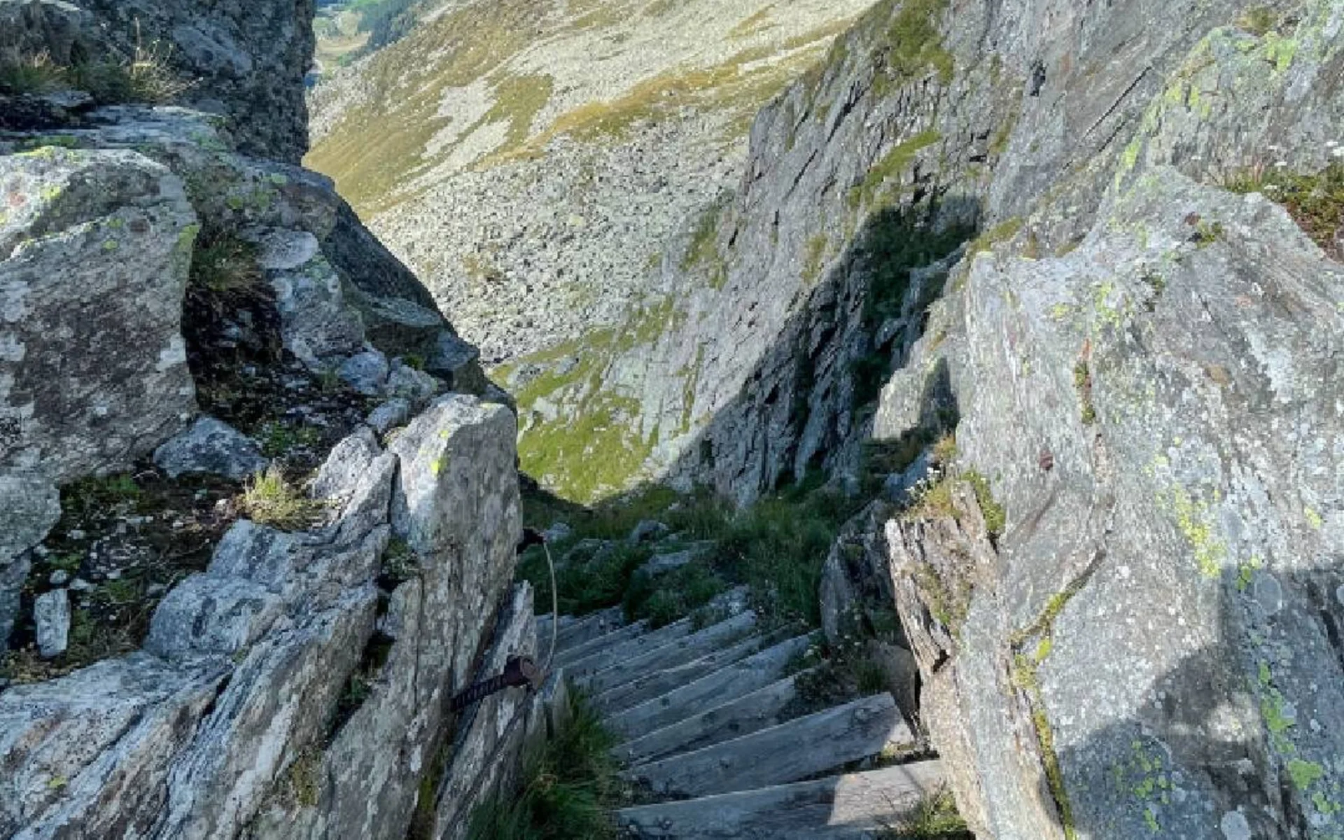
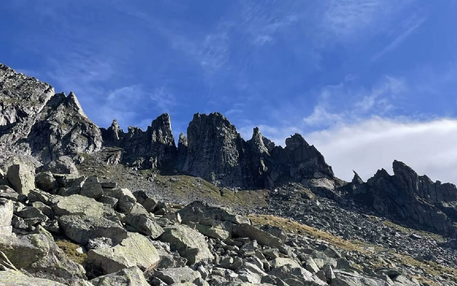
The route continues along the Lausitzer mountain path, initially over stone slabs before it turns into a more comfortable trail. At the “Teufelsstiege” (Devil’s Staircase), the clue is in the name, a head for heights is essential. Shortly after, a signpost directs hikers left, where they follow the red-and-white trail markers on the rocks and the “Steinmännchen” (piles of stones stacked on top of each other). The path leads across boulders and partly secured, slightly exposed rock ledges – caution is advised.
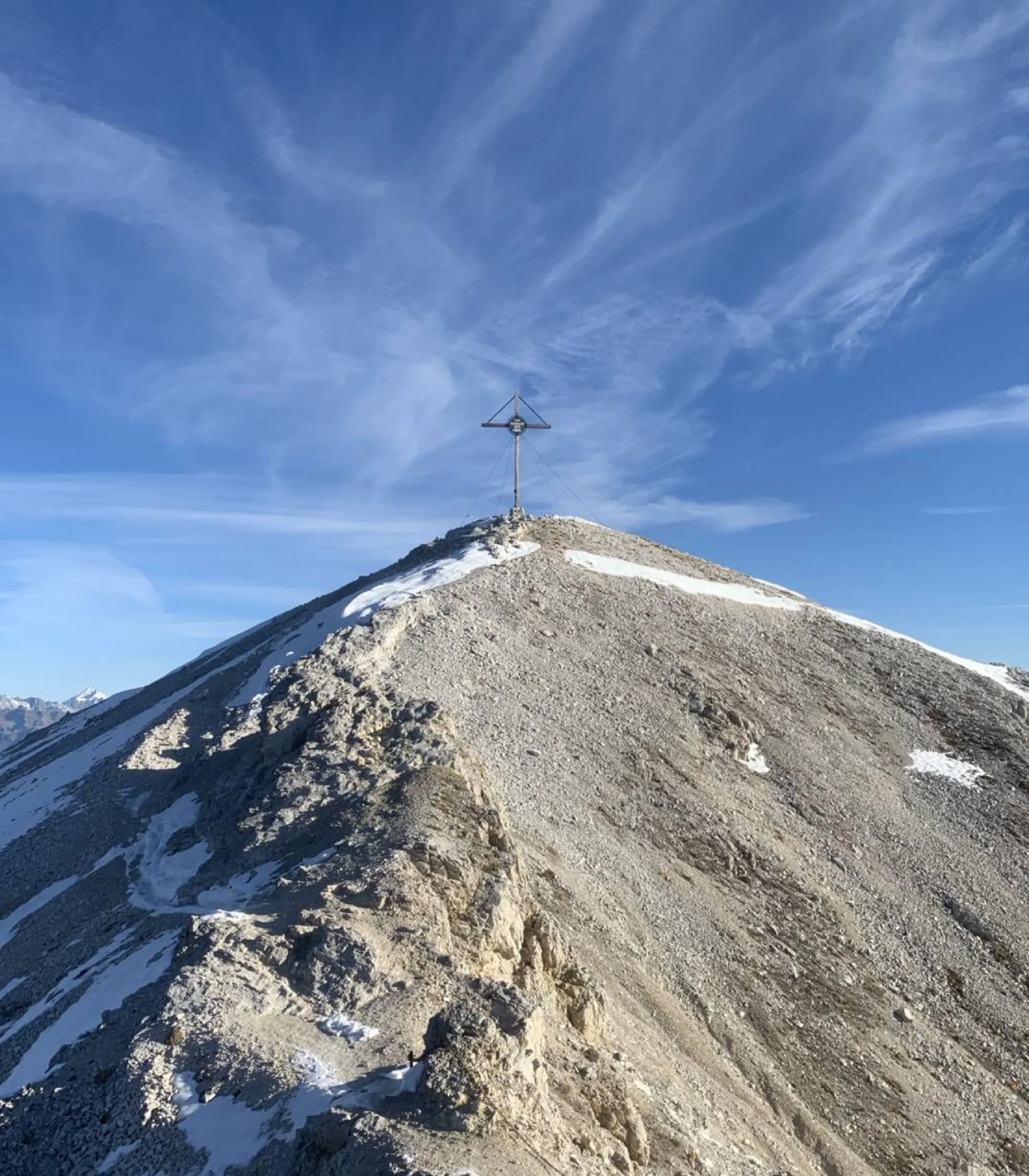
The summit of Klockerkarkopf marks the border between South Tyrol (Italy) and Salzburg (Austria). The peak also holds historical significance: in 1904, the fascist Ettore Tolomei claimed to have been the first to climb it. He named it the “Northernmost Point of Italy” and called it “Vetta d’Italia,” despite the fact that the mountain was still part of the Austro-Hungarian Empire at the time. Tolomei aimed to reinforce Italy’s territorial claims with this Italian name.
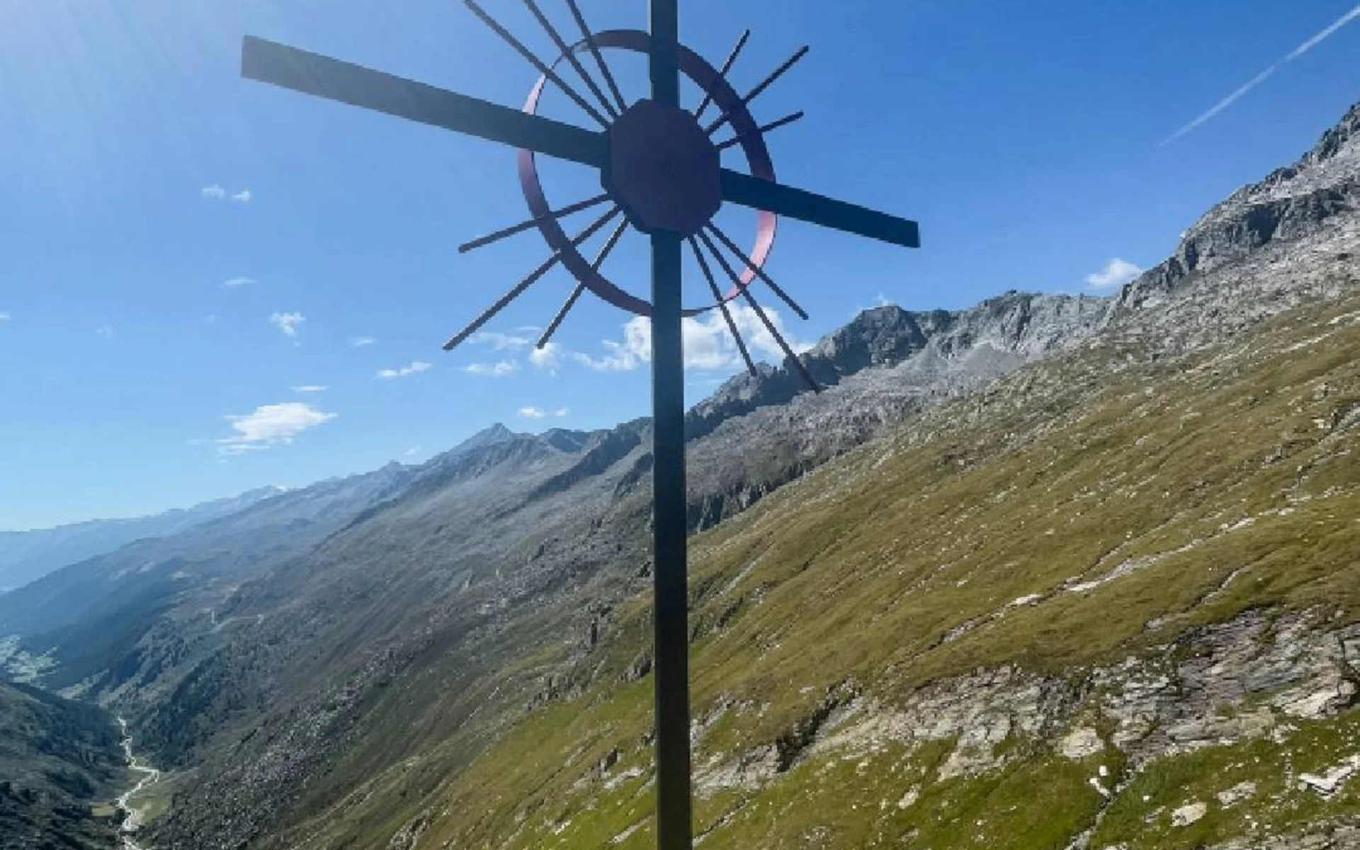
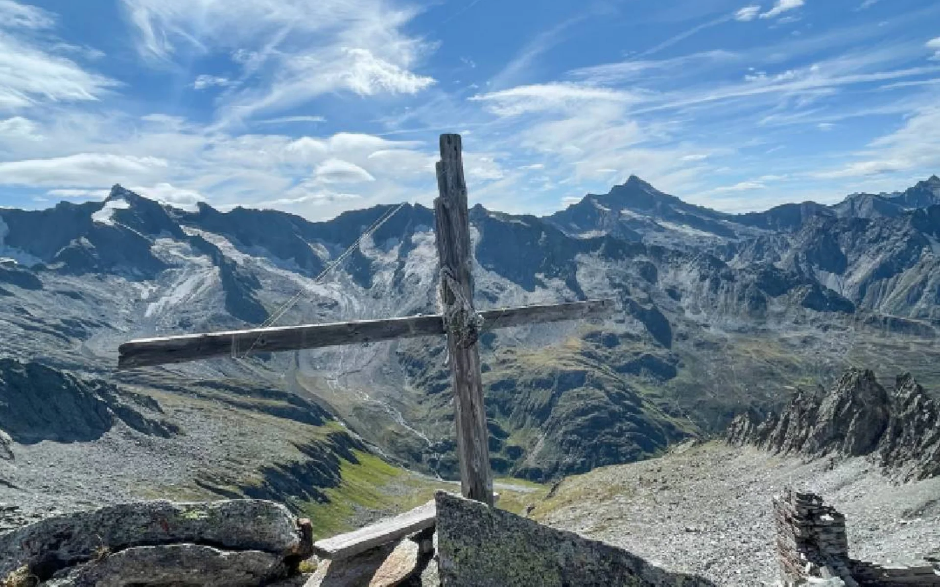
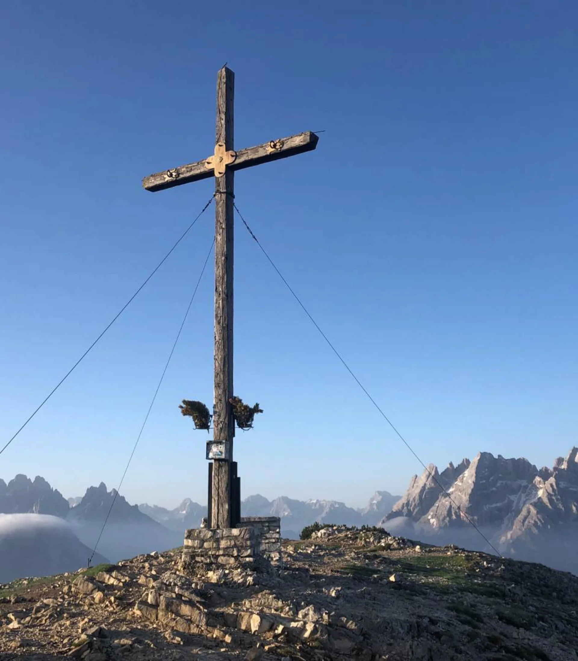
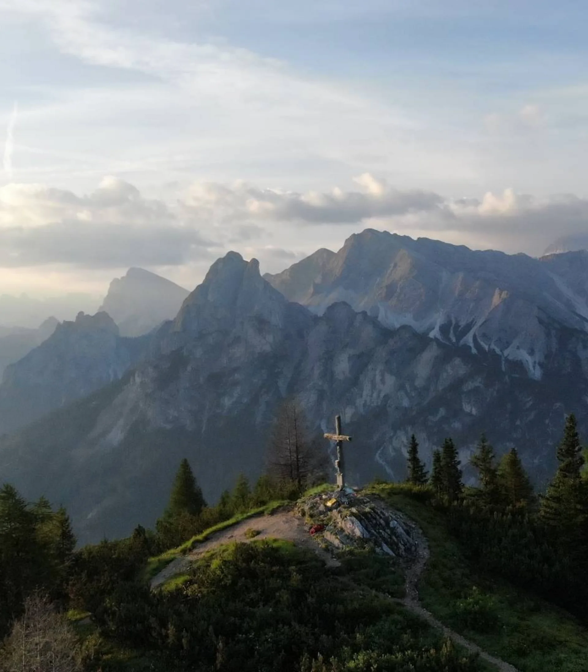
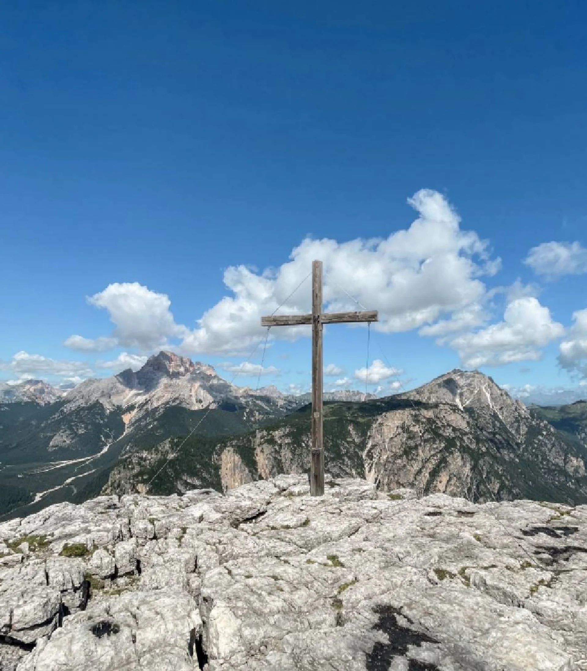
Although the actual border has run farther north over the difficult-to-access western Zwillingsköpferl since 1919, the mountain remains significant to many Italians. A marking on the summit indicates the border’s course, and a brass plaque with the inscription “Klockerkarkopf. Mitten in Tirol” (Klockerkarkopf. In the Heart of Tyrol) is embedded in the rock. This plaque, installed in 2002, is the only one that has lasted on the summit for an extended period. The letter “I,” which Tolomei left as a symbol for Italy, has since faded. Other signs disappeared during the course of the ill-feeling between the Italians and the South Tyroleans in the 1980s and 1990s. Instead of a grand summit cross, two simple branches nailed together stand at the peak.
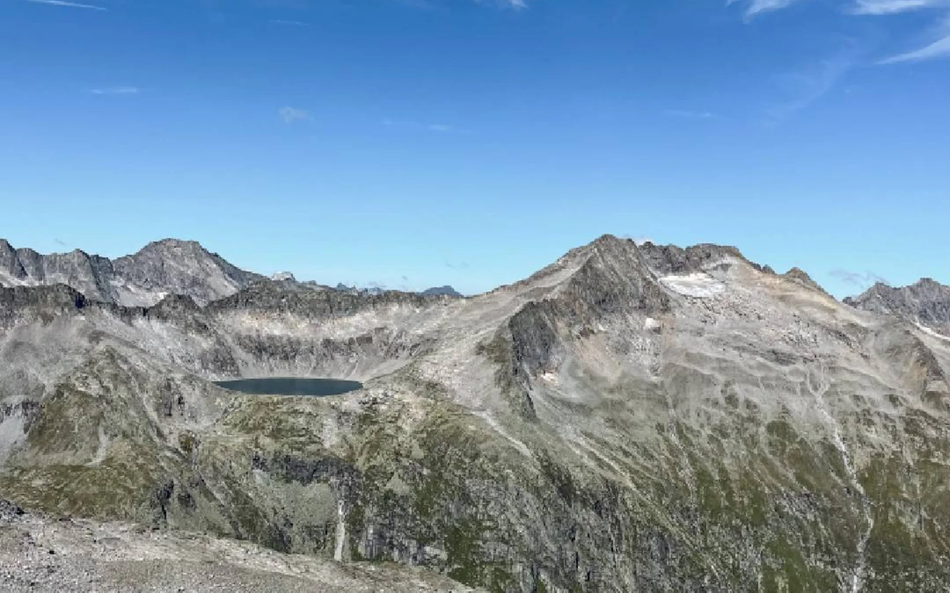
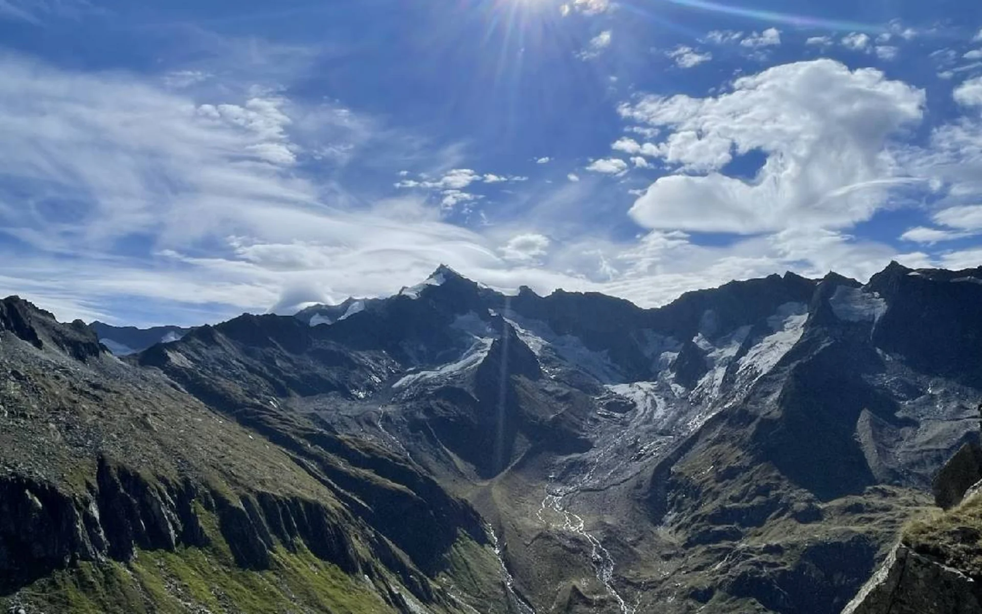
The panoramic view, however, is unrivaled: to the east rises the Venediger Group, to the west glistens the water of the Eissee lake, and to the south, the Drei-Herren-Spitze, the Rötspitze, and the Rieserferner Group dominate the landscape.
The descent follows the same route back to where the trails meet, before you bear left towards the Birnlücken hut. From there, a steep path leads down into the valley, where hikers follow the “Ahr” stream out of the valley and back to the car park.
Starting point: Oberwielenbach (16 km from the hotel)
To the route


