Peitlerkofel, Würzjoch
Difficulty
Duration 5,25 h
Distance 11,6 km
Altitude diff. 980 m
Summit hike
Badia Valley
Peitlerkofel, Würzjoch

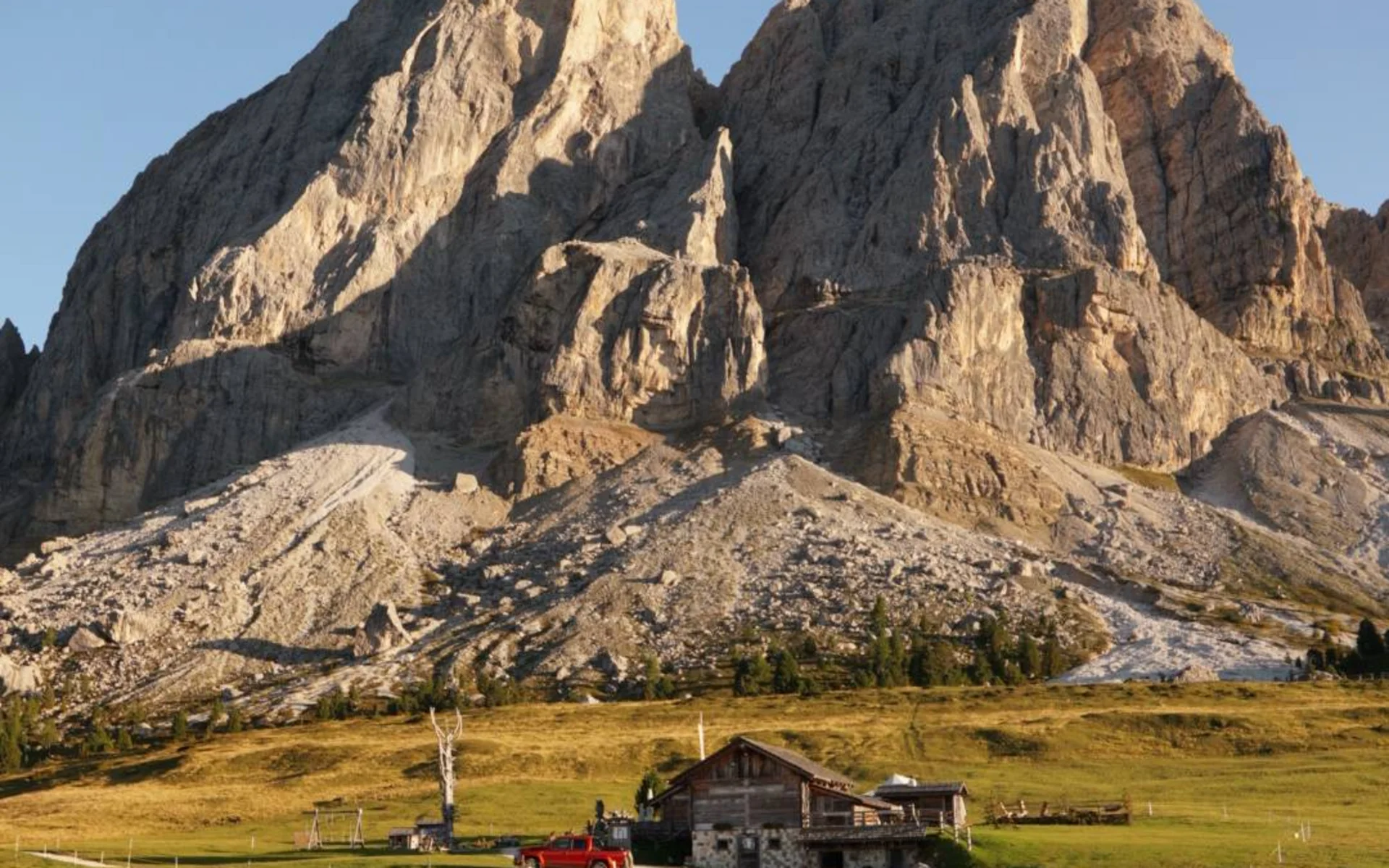
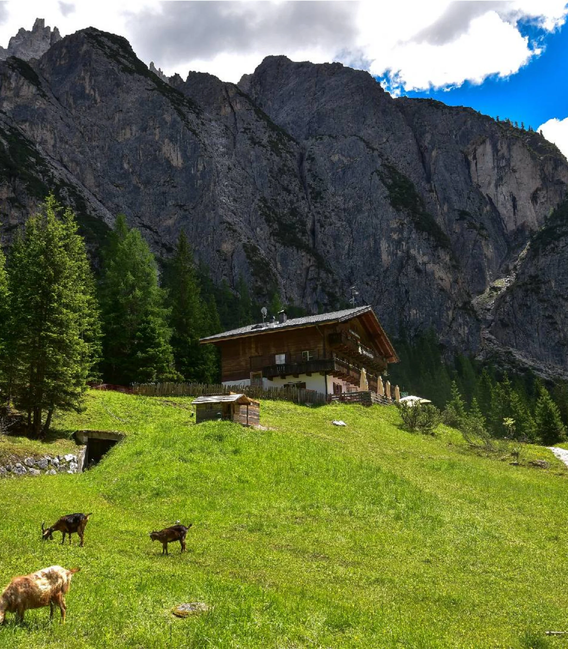
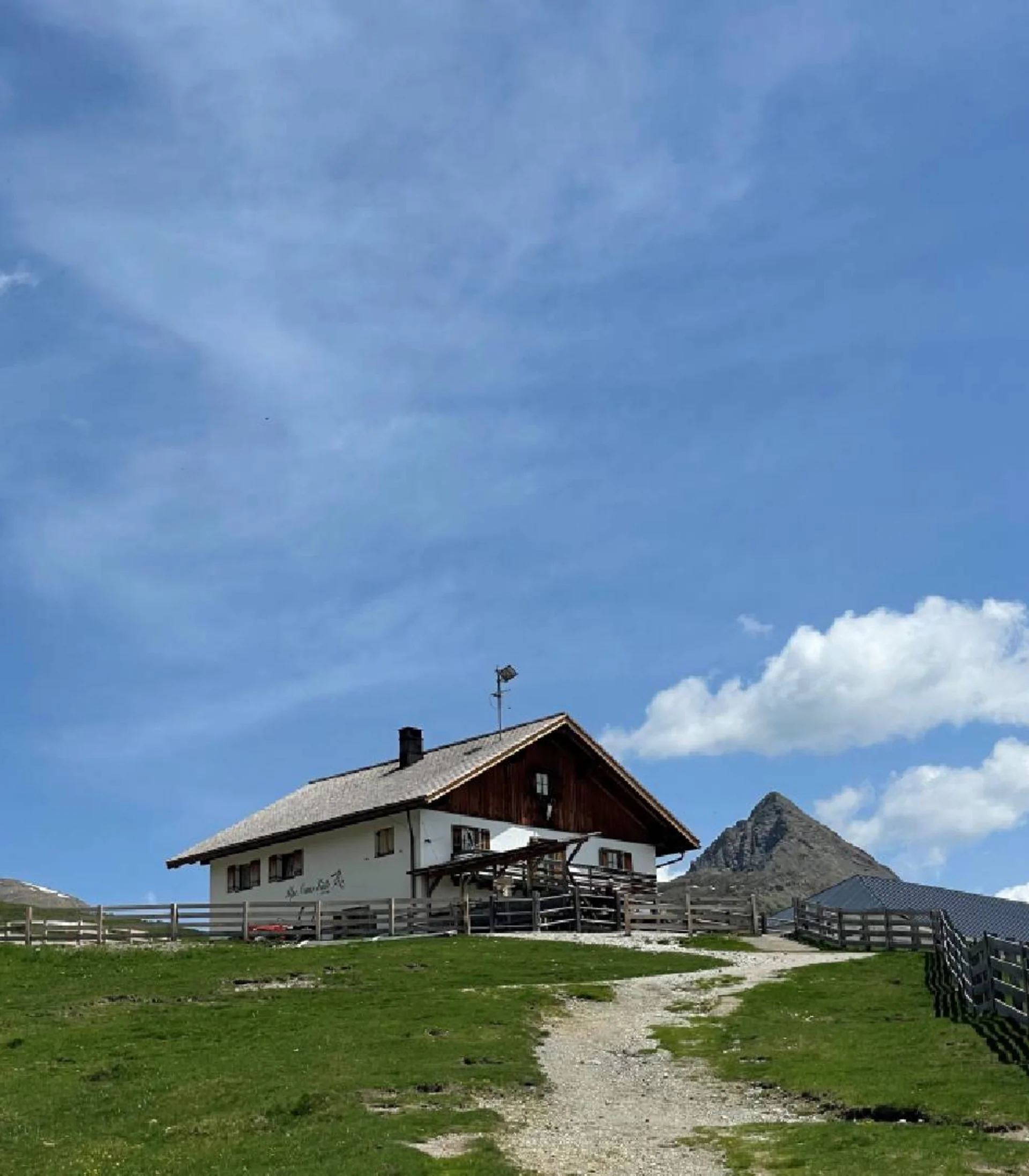
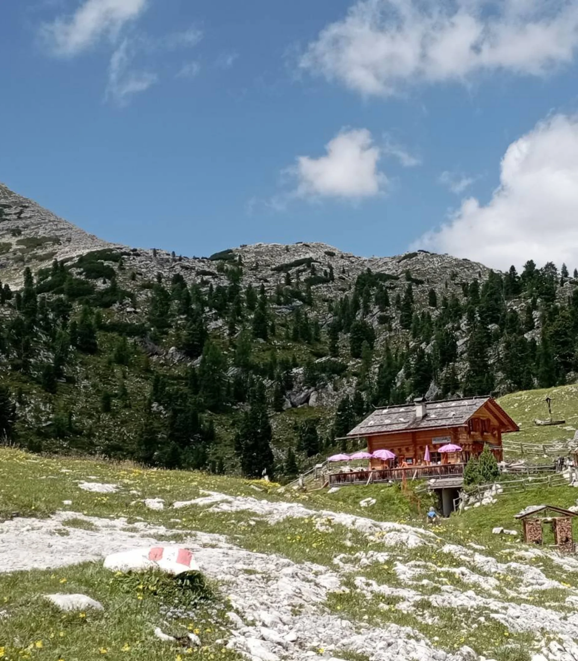
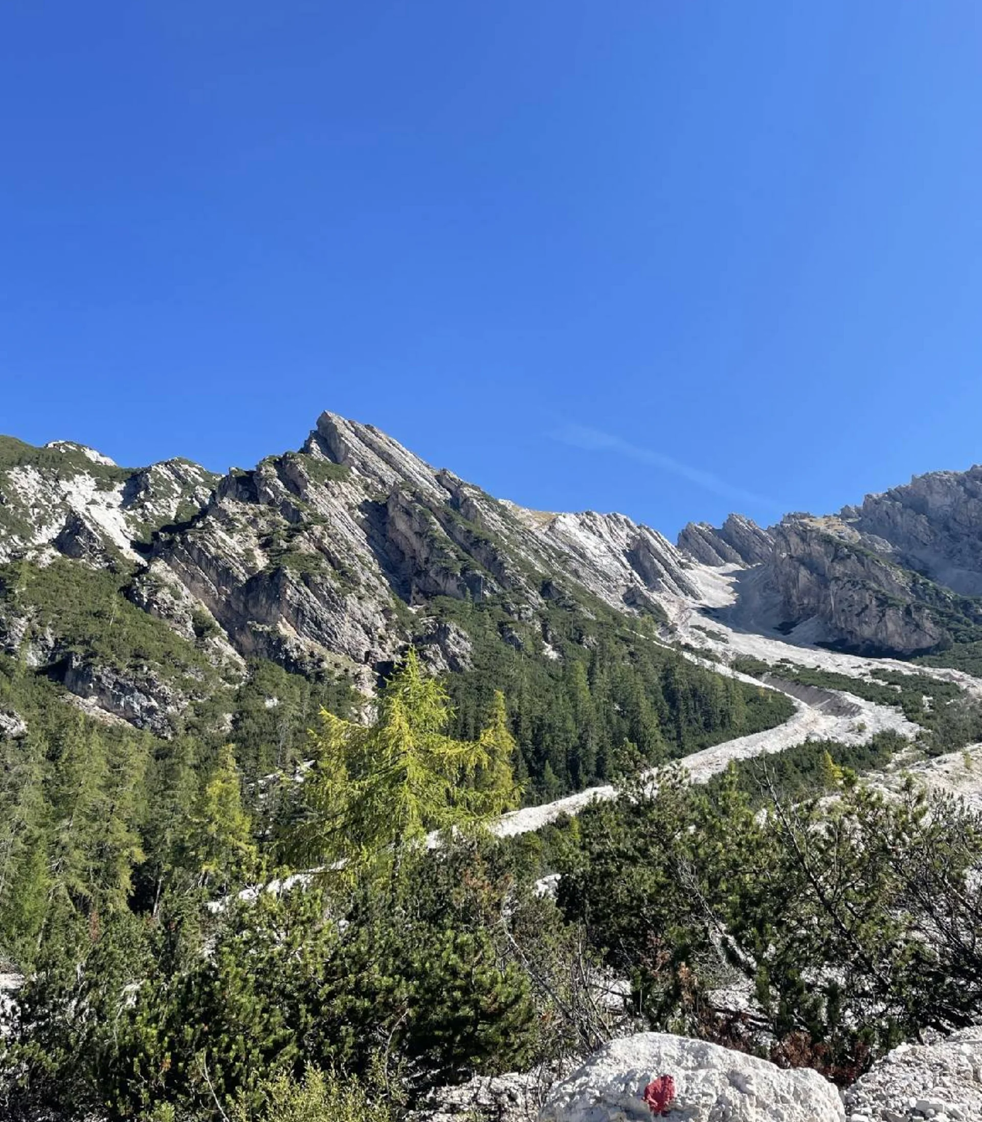
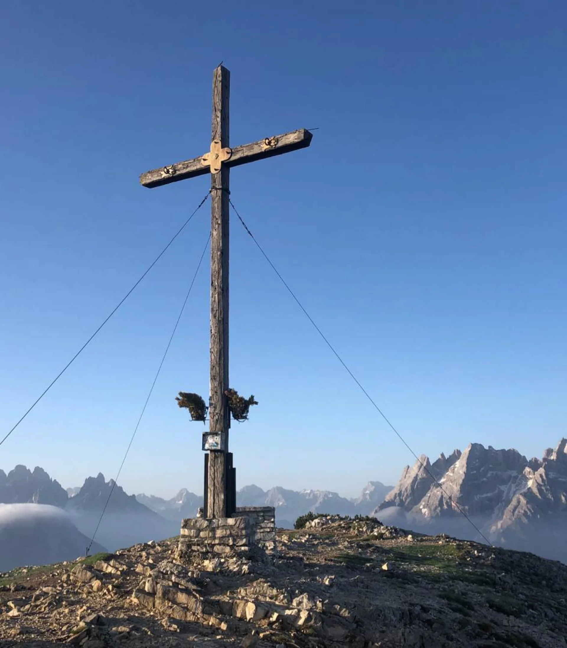
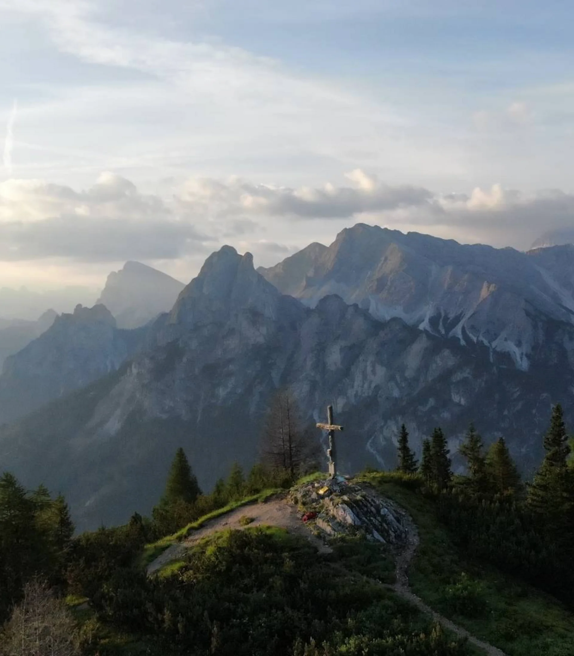
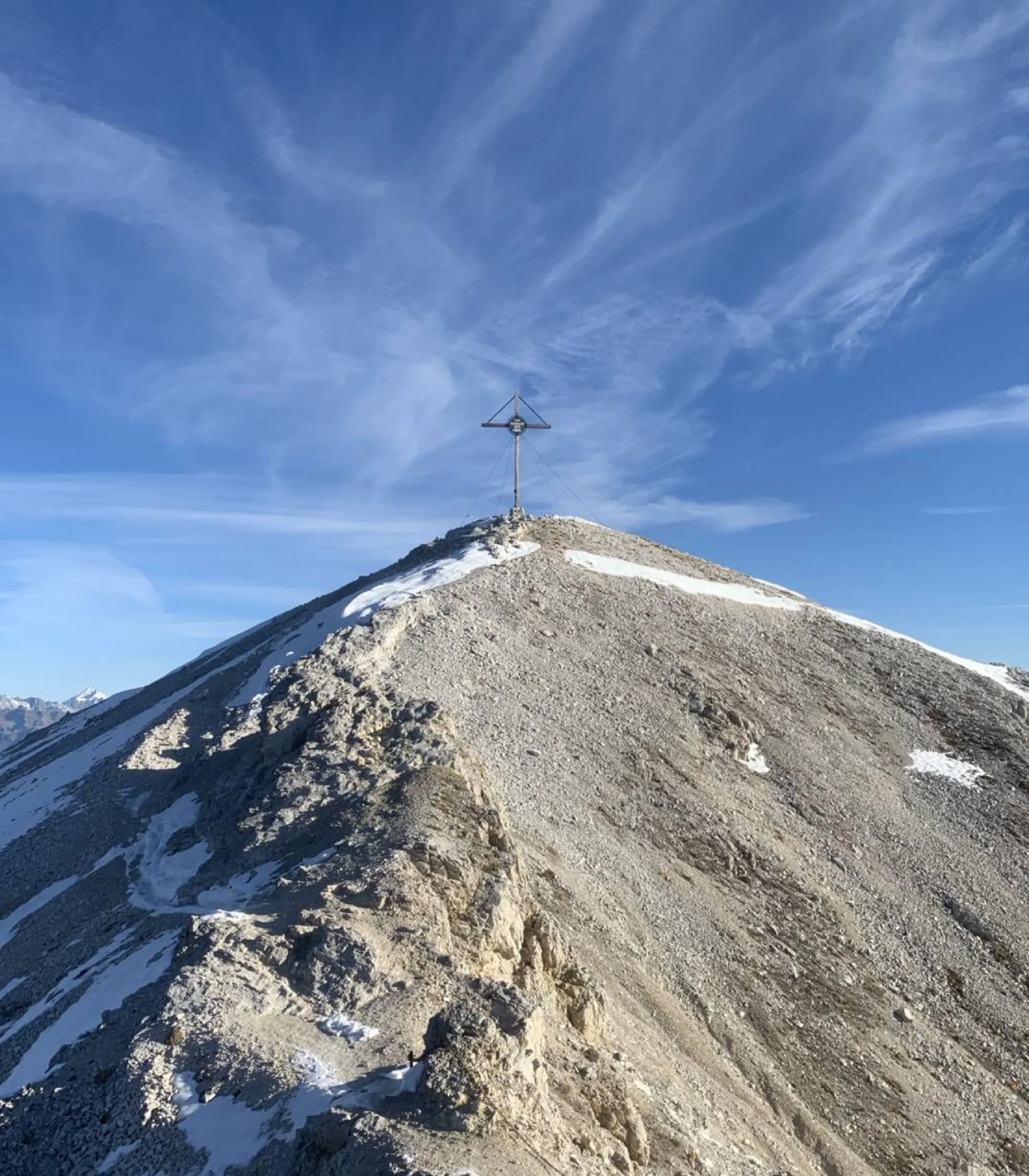
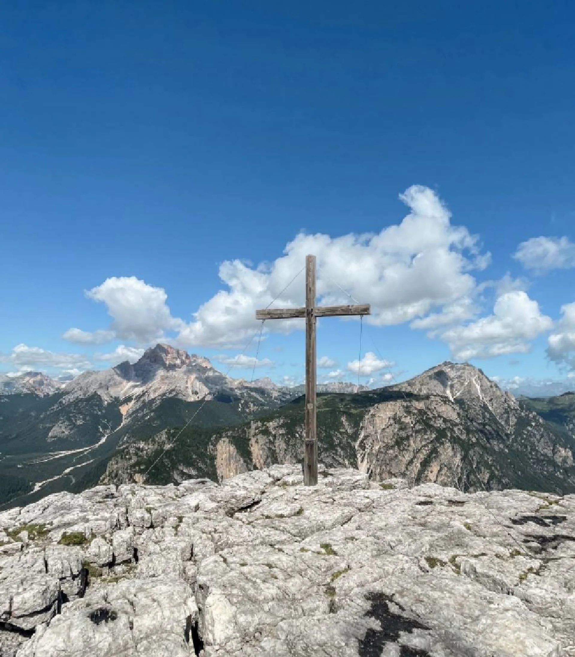
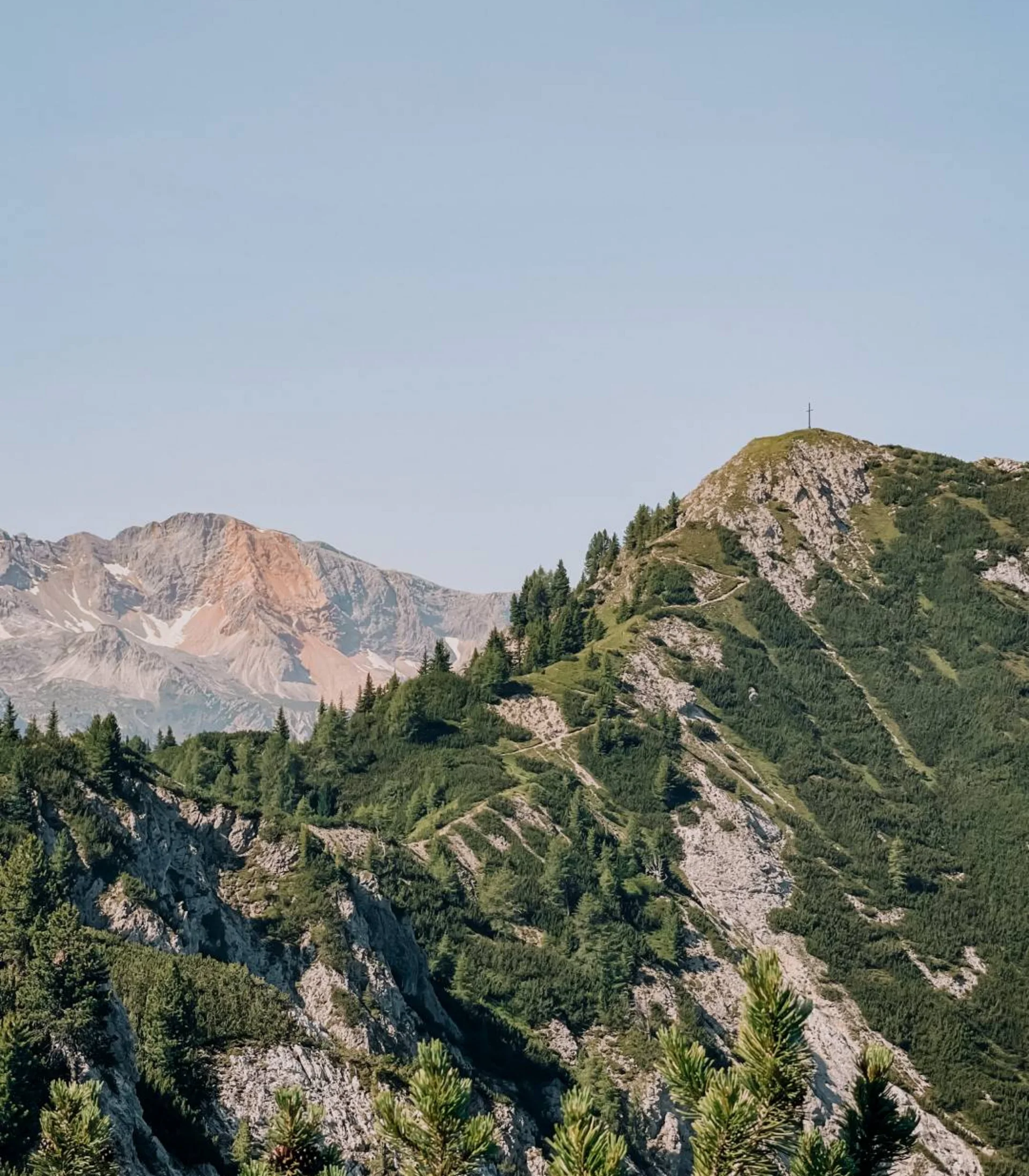
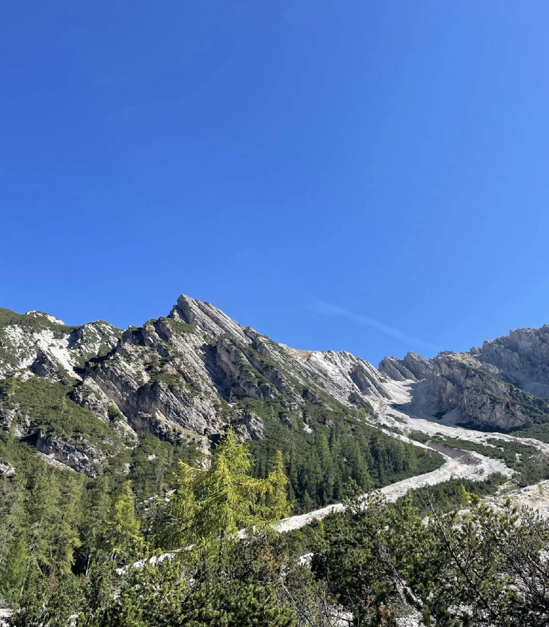
We start at Würzjoch and follow the wide gravel path towards the northern slope of Peitlerkofel. From there, the mountain initially appears almost insurmountable. We continue our journey westward. The wide forest road soon becomes narrower and leads steeply up to the Peitler ridge. Once the ridge is conquered, you are rewarded with a first beautiful view. Now you can see the southern slope of the mountain, and the ascent seems possible. The hike continues uphill on the trail, and you quickly gain elevation. To the right, you can see the summit cross of the “small Peitlerkofel”, which can be easily reached via the hiking trail. To reach the main summit, though, the last part must be overcome via a simple via ferrata. For less sure-footed hikers and children, via ferrata equipment is recommended. Once at the summit, you’re greeted with a breathtaking 360-degree view of the South Tyrolean mountains. The descent follows the same route as the ascent.

Starting point: Rit car park, Wengen (32 km from the hotel)

To the route


Alternative: Circular hike around Peitlerkofel without ascending to the summit

The circular hike around the Peitlerkofel massif, without reaching the summit, is also highly recommended. From the Peitler ridge, follow the narrow path 4B, which descends in part via steps, before soon reaching a wide gravel road. This road runs along the southern side of Peitlerkofel and leads to Göma Joch. Follow the signs to return to the car park. Although this hike is longer than the summit tour, it is considerably easier, with almost 400 meters less elevation gain.

Duration: 4.5 h
Distance: 12.9 km
Meters in altitude: 550 m

Starting point: Rit car park, Wengen (32 km from the hotel)

To the route

More tours
Alpine hike | Hochpuster Dolomites
Dreischuster Hut, Sexten
Difficulty
Duration 3,3 h
Distance 3,3 km
Altitude diff. 350 m
Peitlerkofel, Würzjoch
Alpine hike | Hochpuster Dolomites
Alpe Nemes, Sexten
Difficulty
Duration 2,15 h
Distance 2,15 km
Altitude diff. 250 m
Peitlerkofel, Würzjoch
Alpine hike | Hochpuster Dolomites
Rossalm, Prags
Difficulty
Duration 4,3 h
Distance 4,3 km
Altitude diff. 430 m
Peitlerkofel, Würzjoch
Alpine hike | Hochpuster Dolomites
Seekofel Hut, Prags
Difficulty
Duration 6 h
Distance 6 km
Altitude diff. 915 m
Peitlerkofel, Würzjoch
Summit hike | Hochpuster Dolomites
Strudelkopf, Prags
Difficulty
Duration 4,75 h
Distance 4,75 km
Altitude diff. 380 m
Peitlerkofel, Würzjoch
Summit hike | Hochpuster Dolomites
Kühwiesenkopf, Prags
Difficulty
Duration 3,25 h
Distance 3,25 km
Altitude diff. 650 m
Peitlerkofel, Würzjoch
Summit hike | Hochpuster Dolomites
Dürrenstein, Prags
Difficulty
Duration 5 h
Distance 5 km
Altitude diff. 870 m
Peitlerkofel, Würzjoch
Summit hike | Hochpuster Dolomites
Monte Piano, Toblach
Difficulty
Duration 5,5 h
Distance 5,5 km
Altitude diff. 900 m
Peitlerkofel, Würzjoch
Summit hike | Hochpuster Dolomites
Lung- & Sarlkofel, Prags
Difficulty
Duration 6,25 h
Distance 6,25 km
Altitude diff. 1 210 m
Peitlerkofel, Würzjoch
Summit hike | Hochpuster Dolomites
Seekofel, Prags
Difficulty
Duration 7,25 h
Distance 7,25 km
Altitude diff. 1 336 m
Peitlerkofel, Würzjoch
Excursion | Hochpuster Dolomites
Funbob am Haunold, Innichen
Difficulty
Peitlerkofel, Würzjoch